Deer Valley Resort Ski Report
Last Updated: May 7, 2026
Leave a Rating°F
°F
mph
Wind
%
Humidity
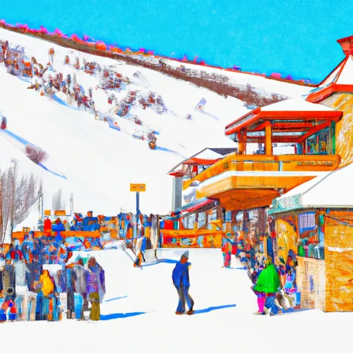
Deer Valley Resort in Utah offers 2,026 acres of skiable terrain with 21 lifts and over 100 runs geared towards intermediate and advanced skiers.
Summary
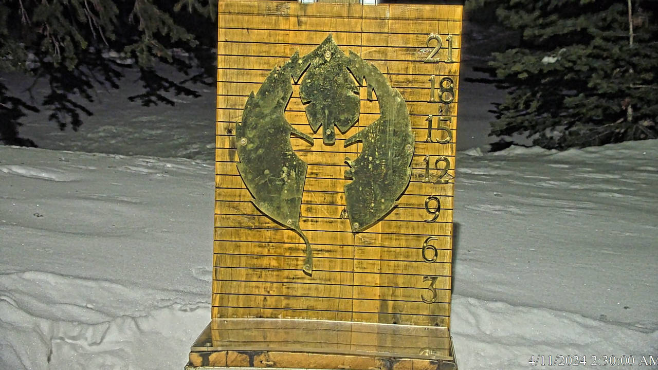
No new snow to report today, with snowpack levels sitting at 18.0". Snowpack levels for this time of year average around 40 inches, but can be as high as 123 inches. Weather today, sunny, with a high near 40. north wind 9 to 13 mph.
15-Day Snow Forecast
Snowfall Accumulations
Snowstake Cam
5-Day Hourly Forecast Detail
Seasonal Comparison
Year over year snow water equivalent
Snow Water Equivalent (SWE) shows how much water the snow holds. This is ideal for year-to-year tracking of real snowfall and water resources. Measurements from Thaynes Canyon.
Regional Snowpack Depth
Snow levels measured from Thaynes Canyon
Snowpack depth measures how much snow has accumulated in the area. This is a key indicator of powder quality, trail coverage, and how epic your runs are going to be this season at Deer Valley Resort.
Historical Air Temperature
Temperature fluctuations at Deer Valley Resort
Recent air temperature fluctuations at Deer Valley Resort impact snow quality and stability, from powder to slush.
About this Location
Deer Valley Resort is located in the Wasatch Mountain Range in Utah, United States. Some of the pertinent mountain ranges and mountain aspects of the resort include:
1. Wasatch Mountain Range: Deer Valley is situated within the Wasatch Mountain Range, which is known for its stunning peaks, rugged terrain, and world-class skiing opportunities.
2. Bald Mountain: Bald Mountain is the highest peak at Deer Valley Resort, reaching an elevation of 9,400 feet. It offers a variety of challenging ski runs, as well as breathtaking views of the surrounding area.
3. Flagstaff Mountain: Flagstaff Mountain is another prominent peak at Deer Valley, offering a mix of intermediate and advanced ski runs. The mountain also features stunning views of the resort and the surrounding mountains.
4. Empire Canyon: Empire Canyon is a popular area for expert skiers at Deer Valley, with steep slopes and challenging terrain. It is known for its excellent snow conditions and thrilling skiing opportunities.
5. Daly Chutes: The Daly Chutes are a series of steep, narrow chutes located on the Daly Bowl at Deer Valley Resort. These challenging runs are popular among experienced skiers looking for a thrill.
Overall, Deer Valley Resort offers a diverse range of mountain ranges and aspects that cater to skiers of all abilities and preferences.
The resort is known for its immaculate grooming and top-notch service. A little known fact is that Deer Valley was a venue for the 2002 Winter Olympics. For beginners, we suggest starting on the easy slopes of Bald Mountain or Flagstaff Mountain. For apres ski, check out the popular Goldener Hirsch Inn Bar for a cozy atmosphere and delicious cocktails.
Deer Valley Resort FAQ
Where does our Deer Valley Resort snow data come from?
This snow report combines on-mountain observations, regional SNOTEL sensors, and weather model data specific to Deer Valley Resort and the surrounding region.
How much snow did Deer Valley Resort receive over the past day?
The ski area received 0" of new snowfall since yesterday.
What's the weather like at Deer Valley Resort today?
Weather today, sunny, with a high near 40. north wind 9 to 13 mph.
What are some ski resorts near Deer Valley Resort?
Park City Mountain Resort
Brighton Ski Resort
Canyons
Solitude Mountain Resort
Alta Ski Area

 State Route 319 Wasatch County
 State Wildlife Area Kamas
 Wilderness Twin Peaks
 Wasatch Mountain State Park
 Deer Creek State Park
 Glacio Park
 Continue with Snoflo Premium