
Snowhaven Ski Area Ski Report
Last Updated: May 12, 2026
Leave a Rating°F
°F
mph
Wind
%
Humidity
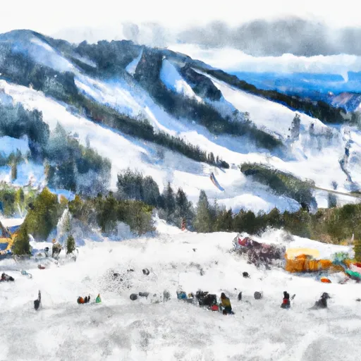
Snowhaven Ski Area is a small, family-friendly ski resort in Idaho that offers six slopes and two chairlifts.
Summary
No new snow to report today, with snowpack levels sitting at 0". Weather today, mostly sunny, with a high near 83. calm wind becoming northeast around 5 mph in the afternoon.
15-Day Snow Forecast
Snowfall Accumulations
5-Day Hourly Forecast Detail
Seasonal Comparison
Year over year snow water equivalent
Snow Water Equivalent (SWE) shows how much water the snow holds. This is ideal for year-to-year tracking of real snowfall and water resources. Measurements from Grangeville 0.2 Ene, Id.
Regional Snowpack Depth
Snow levels measured from Grangeville 0.2 Ene, Id
Snowpack depth measures how much snow has accumulated in the area. This is a key indicator of powder quality, trail coverage, and how epic your runs are going to be this season at Snowhaven Ski Area.
Historical Air Temperature
Temperature fluctuations at Snowhaven Ski Area
Recent air temperature fluctuations at Snowhaven Ski Area impact snow quality and stability, from powder to slush.
About this Location
The pertinent mountain ranges and aspects of Snowhaven Ski Area in Idaho include:
1. The Clearwater Mountains: Snowhaven Ski Area is located within the Clearwater Mountains, a subrange of the Rocky Mountains in Idaho. The mountains provide a beautiful backdrop for skiing and snowboarding at the resort.
2. Aspect: Snowhaven Ski Area has north-facing slopes, which can receive more consistent snowfall and retain better snow conditions throughout the winter season. The aspect of the slopes also provides shade, which can help preserve the snow quality.
Overall, Snowhaven Ski Area offers a variety of terrain for all levels of skiers and snowboarders, with stunning views of the surrounding Clearwater Mountains.
Its best trail is the Sundance, a beautiful intermediate run that provides amazing views of the surrounding mountains. An interesting fact about Snowhaven is that it was first established in 1937 as a Works Progress Administration project. For beginner skiers, the Bunny Hill is the perfect slope to start with, offering a gentle terrain that is easy to manage. For après ski, The Last Run Inn is the perfect spot to grab a drink and enjoy some live music. Overall, Snowhaven Ski Area is a great destination for those looking for a laid-back and affordable skiing experience.
Night Skiing | Yes |
Lift Count | 2 Lifts |
Hourly Lift Capacity | 700 per hour |
Base Elevation | 1585 Meters |
Terrain Park | No |
Acreage | 40 Acres |
Run Count | 9 Trails |
Top Elevation | 1707 Meters |
Snowhaven Ski Area FAQ
Where does our Snowhaven Ski Area snow data come from?
This snow report combines on-mountain observations, regional SNOTEL sensors, and weather model data specific to Snowhaven Ski Area and the surrounding region.
How much snow did Snowhaven Ski Area receive over the past day?
The ski area received 0" of new snowfall since yesterday.
What's the weather like at Snowhaven Ski Area today?
Weather today, mostly sunny, with a high near 83. calm wind becoming northeast around 5 mph in the afternoon.
What are some ski resorts near Snowhaven Ski Area?
Cottonwood Butte
Bald Mountain (not Sun Valley)
Brundage Mountain Resort

 Center Creek Road Idaho County
 Lucile Recreation Site
 Continue with Snoflo Premium