
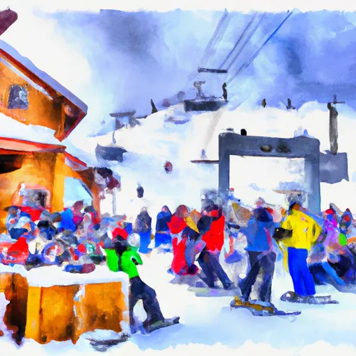
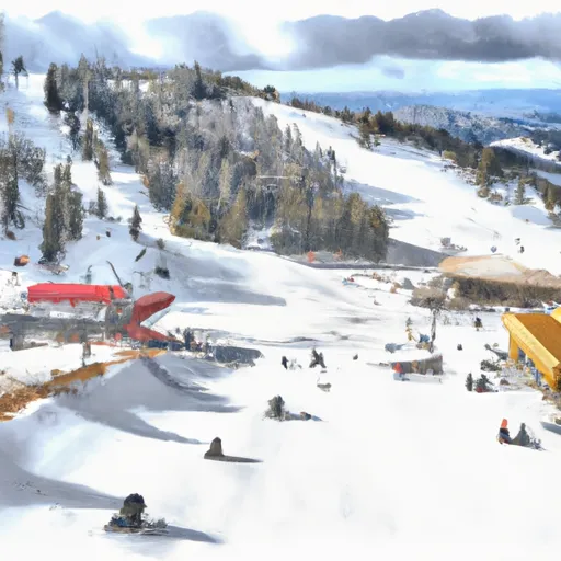
WYOMING SNOW REPORT
Last Updated: April 15, 2026
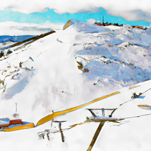
Snowpack levels across the state are currently 54% of normal. The deepest snowpack in Wyoming was last observed at Nohrsc Base Camp Snotel with a snowpack depth of 130”, about 338% of normal when compared to it's 39" average depth for this time of year.
Weather Warnings
April 15 2026
NATRONA COUNTY LOWER ELEVATIONS
WINTER WEATHER ADVISORY ISSUED APRIL ...
WIND RIVER MOUNTAINS WEST; WIND ...
WINTER STORM WARNING ISSUED APRIL ...
BIGHORN MOUNTAINS WEST; BIGHORN MOUNTAINS ...
WINTER WEATHER ADVISORY ISSUED APRIL ...
UPPER WIND RIVER BASIN; WIND ...
WINTER WEATHER ADVISORY ISSUED APRIL ...
NORTHEAST JOHNSON COUNTY; SOUTHEAST JOHNSON ...
WINTER WEATHER ADVISORY ISSUED APRIL ...
YELLOWSTONE NATIONAL PARK; ABSAROKA MOUNTAINS; ...
WINTER STORM WARNING ISSUED APRIL ...
GREEN MOUNTAINS AND RATTLESNAKE RANGE; ...
WINTER WEATHER ADVISORY ISSUED APRIL ...
CENTRAL LARAMIE RANGE AND SOUTHWEST ...
HIGH WIND WATCH ISSUED APRIL ...
Wyoming Ski Area Forecast
Next 15 Days
 Big Horn Ski Resort
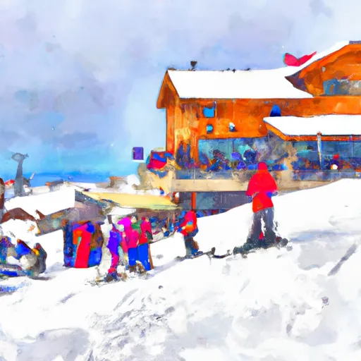 Grand Targhee Ski Resort
 Hogadon Ski Area
 Jackson Hole Mountain Resort
 Pine Creek Ski Area
 Sleeping Giant Ski Area
 Snow King Ski Area
 Snowy Range
 White Pine Ski Area
Wyoming Snow Report FAQs
How often is this report updated?
Daily from SNOTEL and NOAA sources.
What are snowpack levels in Wyoming like right now?
Snowpack levels across Wyoming are approximately 54.0% of normal compared to previous years.
Where is it coldest in Wyoming right now?
Grand Targhee is experiencing frigid temperatures of 24°.
Where in Wyoming will get the most snowfall this week?
Grassy Lake is expected to receive up to 17" of more snowfall over the next 5 days.
Where is the most snow in Wyoming today?
Currently at Nohrsc Base Camp Snotel with 130".