Summary
°F
°F
mph
Wind
%
Humidity
15-Day Weather Outlook
5-Day Hourly Forecast Detail
Area Streamflow Levels
| KLAMATH R A ORLEANS | 4590cfs |
| SALMON R A SOMES BAR CA | 1000cfs |
| TRINITY R A HOOPA CA | 3330cfs |
| TRINITY R AB COFFEE C NR TRINITY CTR CA | 243cfs |
| NF TRINITY R A HELENA CA | 47cfs |
| TRINITY R AB NF TRINITY R NR HELENA CA | 933cfs |
River Runs
-
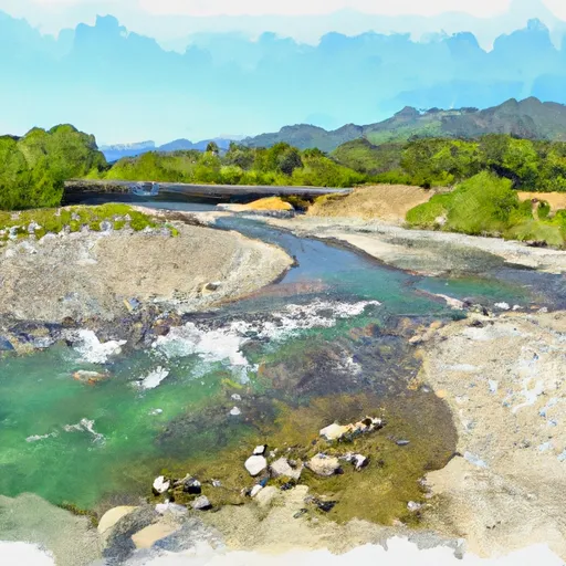 Confluence With Blind Horse Creek To Cecilville Bridge
-
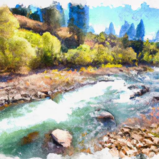 Confluence With Sixmile Creek To Confluence With South Fork Salmon River
-
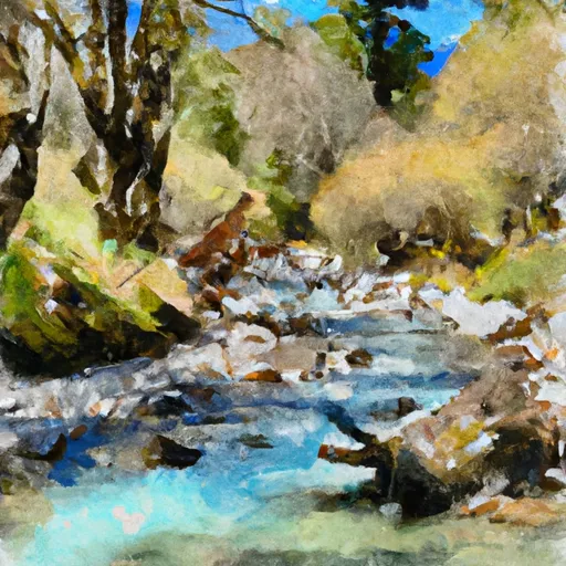 Headwaters In Sw 1/4, Sec 24, T8N, R12W To Trinity Wsr (At Hobo Gulch Trailhead And Campground)
-
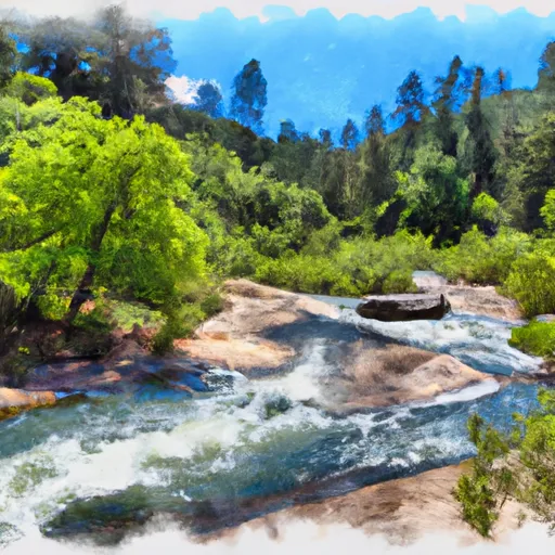 Headwaters To Confluence With New River
-
 Scott District Boundary To Confluence With Sixmile Creek
-
 Confluence Of Tributaries In Sec 6 Near Black Mtn. To Confluence With Blind Horse Creek

 Matthews Creek River Access