Summary
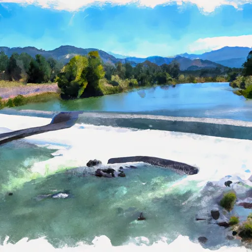
Stuarts Bar River Access boat ramp in California is a concrete boat ramp located along the Klamath River. It is approximately 20 feet wide and is suitable for all types of boats, including motorized boats and non-motorized craft such as canoes and kayaks.
The boat ramp provides access to the Klamath River, which is a popular destination for fishing, boating, and other recreational activities. The river is known for its scenic beauty and diverse wildlife, as well as its abundant fish populations, including salmon, steelhead, and trout.
Overall, the Z. Stuarts Bar River Access boat ramp appears to be a well-maintained and popular launch site for boaters and anglers in the area. Its location along the Klamath River makes it a convenient and accessible entry point for those looking to explore this beautiful waterway.
°F
°F
mph
Wind
%
Humidity
15-Day Weather Outlook
5-Day Hourly Forecast Detail
Area Streamflow Levels
| SALMON R A SOMES BAR CA | 1000cfs |
| KLAMATH R A ORLEANS | 4590cfs |
| KLAMATH R NR KLAMATH CA | 10200cfs |
| INDIAN C NR HAPPY CAMP CA | 205cfs |
| SCOTT R NR FORT JONES CA | 412cfs |
| TRINITY R A HOOPA CA | 3330cfs |
River Runs
-
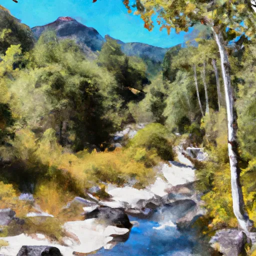 Headwaters In Marble Mtn. Wilderness To Pre-1984 Wilderness Boundary
-
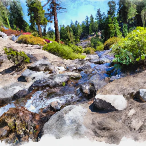 Headwaters In Siskiyou Wilderness To Unnamed Trib In Sec 32, T14N, R6E
-
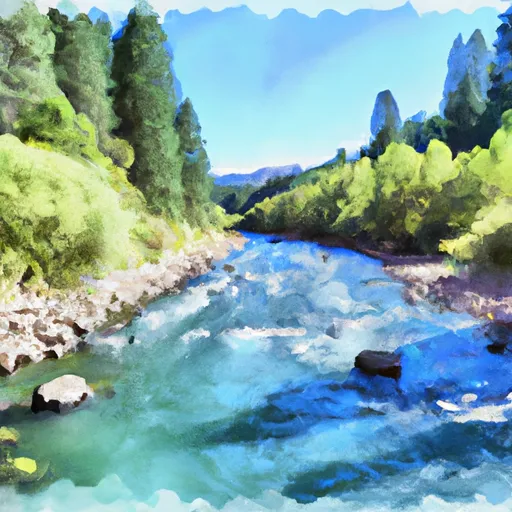 Unnamed Trib In Sec 32 To Confluence With Klamath River
-
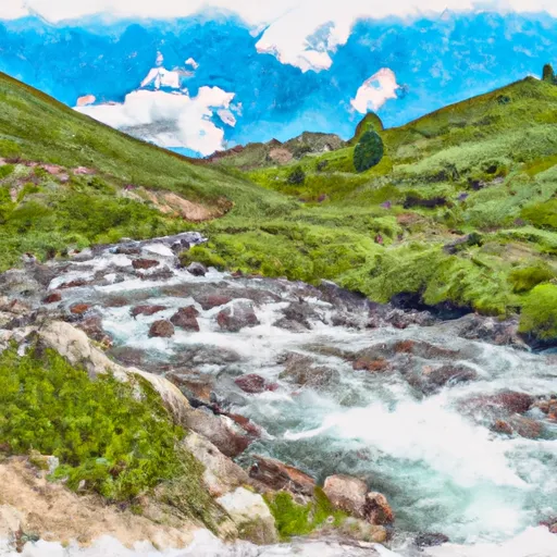 North Fork Dillon Creek Headwaters To Confluence With Dillon Creek
-
 From Toe Of Dam On West End Of Ukonom Lake To Confluence With Klamath River

 Z. Stuarts Bar River Access