Summary
The ideal streamflow range for this run is between 800-1800 cfs. This class III-IV river run spans a total of 8.5 miles. The rapids and obstacles on this river run include the "Toe of the Dam" rapid, which is a steep drop with a large hole at the bottom, and the "Horseshoe Bend" rapid, which requires expert maneuvering to avoid boulders and a large hole.
It's important to note that this run is located within the Klamath National Forest, and specific regulations apply to the area. Visitors must obtain a permit and follow Leave No Trace principles when using the river. Additionally, the use of motorized watercraft is prohibited on this section of the river.
°F
°F
mph
Wind
%
Humidity
15-Day Weather Outlook
River Run Details
| Last Updated | 2026-01-26 |
| River Levels | 382 cfs (4.8 ft) |
| Percent of Normal | 34% |
| Status | |
| Class Level | iii-iv |
| Elevation | ft |
| Streamflow Discharge | cfs |
| Gauge Height | ft |
| Reporting Streamgage | USGS 11521500 |
5-Day Hourly Forecast Detail
Nearby Streamflow Levels
 Indian C Nr Happy Camp Ca
|
183cfs |
 Salmon R A Somes Bar Ca
|
939cfs |
 Klamath R Nr Seiad Valley Ca
|
1890cfs |
 Klamath R A Orleans
|
4210cfs |
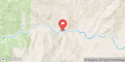 Scott R Nr Fort Jones Ca
|
399cfs |
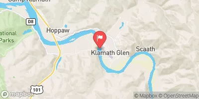 Klamath R Nr Klamath Ca
|
7610cfs |
Area Campgrounds
| Location | Reservations | Toilets |
|---|---|---|
 Dillon
|
||
 Dillon Creek Campground
|
||
 Sulphur Springs Campground
|
||
 Sulphur Springs
|
||
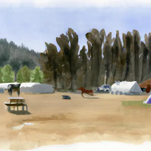 Norcross - horse
|
||
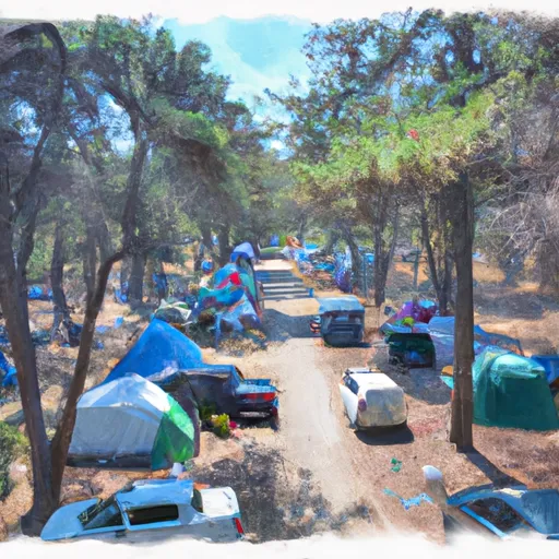 Norcross Campground
|
River Runs
-
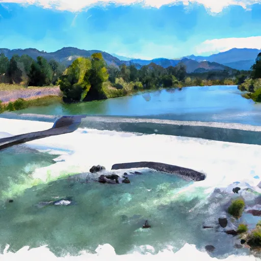 From Toe Of Dam On West End Of Ukonom Lake To Confluence With Klamath River
-
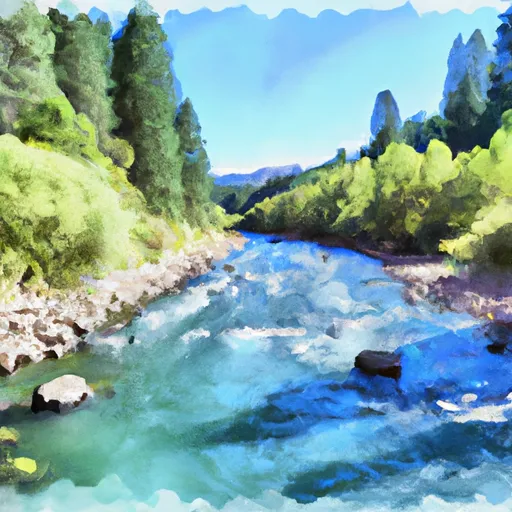 Unnamed Trib In Sec 32 To Confluence With Klamath River
-
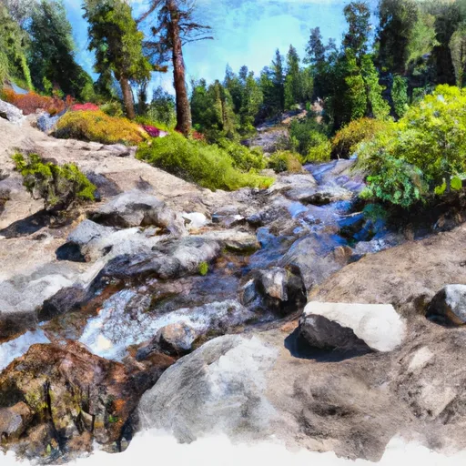 Headwaters In Siskiyou Wilderness To Unnamed Trib In Sec 32, T14N, R6E
-
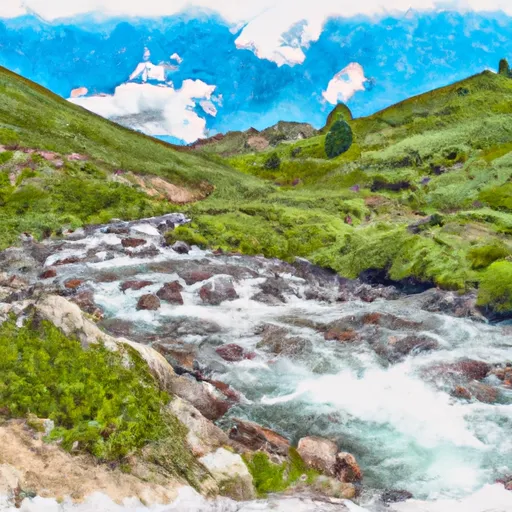 North Fork Dillon Creek Headwaters To Confluence With Dillon Creek
-
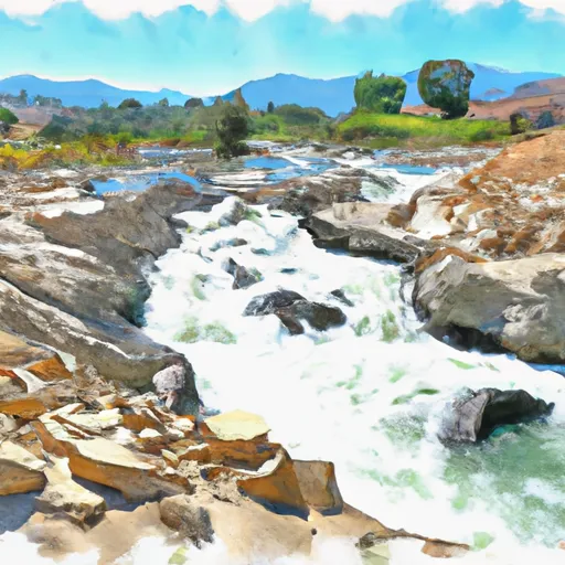 Confluence With Ten Mile Creek To Confluence With Daggett Creek
-
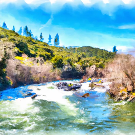 Confluence With Daggett Creek To Confluence With Klamath River


 S. Coon Creek River Access