Summary
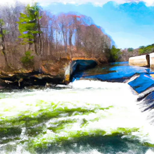
It is a concrete boat ramp that offers easy access to the river for boaters and anglers.
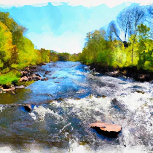
The boat ramp at Bissell Bridge is approximately 32 feet wide, providing ample space to launch and retrieve boats of various sizes. The river it services is the Connecticut River, which flows through several states in the Northeastern United States.
This boat ramp can accommodate a range of watercraft, including small motorboats, kayaks, canoes, and fishing boats. However, it is important to note that larger vessels may have difficulty navigating the river due to shallow water in some areas.
According to the latest information available, the Bissell Bridge boat ramp is open to the public year-round, and there are no fees for launching boats. However, boaters should check local regulations and requirements before using the ramp, as there may be restrictions or guidelines in place to ensure safety and protect the environment.
°F
°F
mph
Wind
%
Humidity
15-Day Weather Outlook
5-Day Hourly Forecast Detail
Area Streamflow Levels
| NORTH BRANCH PARK R AT HARTFORD | 143cfs |
| HOCKANUM RIVER NEAR EAST HARTFORD | 115cfs |
| BROAD BROOK AT BROAD BROOK | 21cfs |
| FARMINGTON RIVER AT TARIFFVILLE | 1520cfs |
| STONY BROOK NEAR WEST SUFFIELD | 14cfs |
| CONNECTICUT RIVER AT THOMPSONVILLE | 6130cfs |

 Bissell Bridge (Connecticut River)
 Begins Below The Tailrace Of The Rainbow Dam To The Confluence With The Connecticut River
 The Confluence Of The East And West Branches To The Confluence With The Farmington River In East Granby