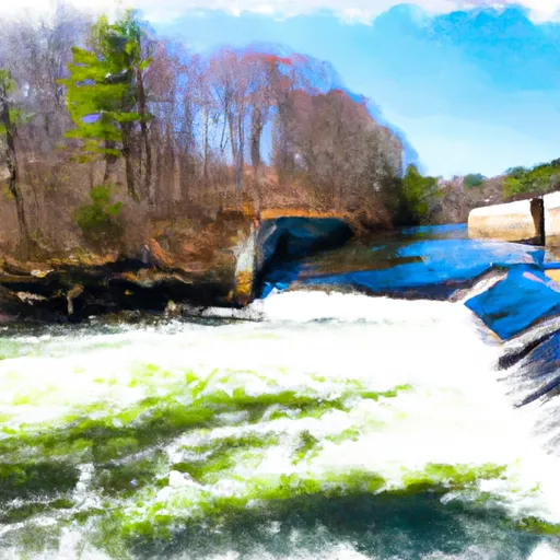
Summary
It is approximately 20 feet wide and provides access to the Connecticut River, which is a major waterway in the state.
The East River Drive boat ramp is suitable for smaller boats and watercraft, including kayaks, canoes, and motorized boats. However, larger vessels may have difficulty accessing the ramp due to its size and limited parking availability.
Overall, the East River Drive boat ramp provides a convenient and accessible location for recreational boaters to launch and enjoy the Connecticut River and its scenic surroundings.
°F
°F
mph
Wind
%
Humidity
15-Day Weather Outlook
5-Day Hourly Forecast Detail
Area Streamflow Levels
| NORTH BRANCH PARK R AT HARTFORD | 143cfs |
| HOCKANUM RIVER NEAR EAST HARTFORD | 115cfs |
| FARMINGTON RIVER AT TARIFFVILLE | 1520cfs |
| FARMINGTON RIVER AT UNIONVILLE | 587cfs |
| BROAD BROOK AT BROAD BROOK | 21cfs |
| STONY BROOK NEAR WEST SUFFIELD | 14cfs |

 East River Drive East Hartford
 Begins Below The Tailrace Of The Rainbow Dam To The Confluence With The Connecticut River