Summary
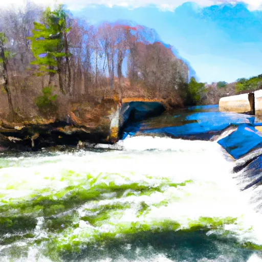
It is a concrete boat ramp that can accommodate small boats and trailers. The ramp is approximately 20 feet wide, providing enough space for easy launching and retrieval of boats.
This boat ramp services the Connecticut River, which is a major waterway in the state. The river stretches for over 400 miles and is a popular destination for boating, fishing, and other water-based recreational activities.
The Wilbur Cross Highway East Hartford boat ramp is open to various types of watercraft, including motorboats, sailboats, canoes, and kayaks. However, there may be restrictions on the size and horsepower of motorboats that are allowed on the river.
To ensure accuracy, the latest information on the Wilbur Cross Highway East Hartford boat ramp was obtained from the Connecticut Department of Energy and Environmental Protection's website. The website provides up-to-date information on boat ramps, including their locations, features, and restrictions, making it a reliable source of information for boaters and anglers in the state.
°F
°F
mph
Wind
%
Humidity
15-Day Weather Outlook
5-Day Hourly Forecast Detail
Area Streamflow Levels
| NORTH BRANCH PARK R AT HARTFORD | 143cfs |
| HOCKANUM RIVER NEAR EAST HARTFORD | 115cfs |
| FARMINGTON RIVER AT UNIONVILLE | 587cfs |
| FARMINGTON RIVER AT TARIFFVILLE | 1520cfs |
| BROAD BROOK AT BROAD BROOK | 21cfs |
| STONY BROOK NEAR WEST SUFFIELD | 14cfs |

 Wilbur Cross Highway East Hartford
 Begins Below The Tailrace Of The Rainbow Dam To The Confluence With The Connecticut River