

Summary
15-Day Long Term Forecast
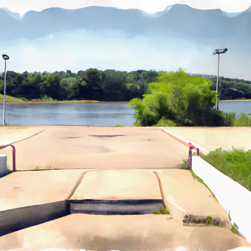
 16th Street ,
5-Day Hourly Forecast Detail
Area Streamflow Levels
| HONEY CREEK NEAR SOUTH WEST CITY | 86cfs |
| CAVE SPRINGS BRANCH NEAR SOUTH WEST CITY | 2cfs |
| BUFFALO CREEK AT TIFF CITY | 52cfs |
| ELK RIVER NEAR TIFF CITY | 1690cfs |
| BEATY CREEK NEAR JAY | 46cfs |
| SPAVINAW CREEK NEAR EUCHA | 685cfs |
 The State Line To The Mouth Of The River
 Pine Bluff
To Tahlequah Water Supply Plant
Pine Bluff
To Tahlequah Water Supply Plant
 Lake Frances Spillway
To Pine Bluff
Lake Frances Spillway
To Pine Bluff
 South Prong Spavinaw Creek
 SWEPCO
 Lake Flint Creek
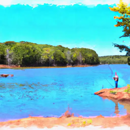
 Siloam Springs Lake
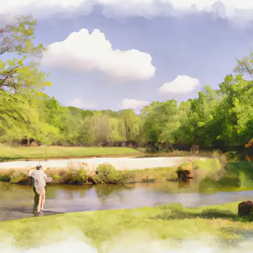
 Handicapped Fishing Dock