Already Have an Account?
Wind
Humidity
Get the latest Boat Launch Report, Ramp Details, and Weather Forecast for 39th Avenue Northwest 15324, Stanwood in Washington. Washington Ramp Details and Weather Forecast
Need an Account? Reset Your Password


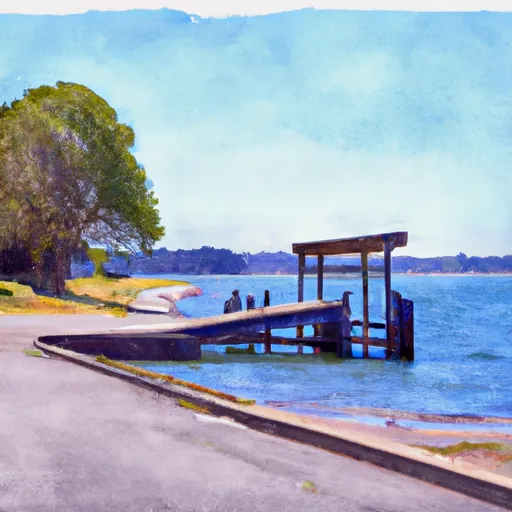
 39th Avenue Northwest 15324, Stanwood
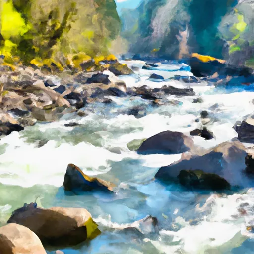 Canyon Creek To Confluence With North Fork Stillaguamish River
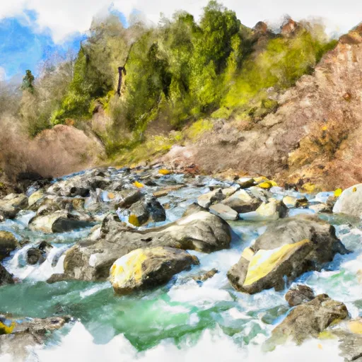 Headwaters In Ne1/4 Of Sec 14, T29N, R10E To Confluence With Canyon Creek
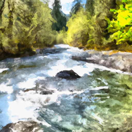
 Headwaters In Sw1/4 Of Sec 7, T31N, R9E To Boulder River Wilderness Boundary
 Boulder River Wilderness Boundary To Confluence With Stillaguamish River