Summary
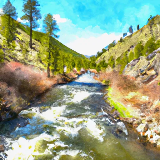
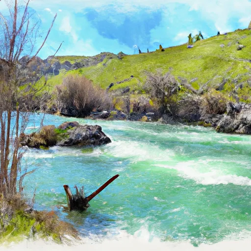
The ideal streamflow range for this section is between 500-1500 cfs. The class rating for this section is Class III-IV, with a segment mileage of approximately 10 miles.
The rapids in this section are technical and challenging, with notable obstacles such as "Piece of Cake" and "Bumper." These rapids require precise maneuvering and a thorough knowledge of the river. Paddlers should also be aware of potential hazards such as strainers and undercut rocks.
There are specific regulations in place for this section, including a permit requirement. The permit is available through the Bureau of Land Management (BLM) and is required for all boaters. Additionally, boaters must follow Leave No Trace principles to preserve the natural environment.
Overall, the Whitewater River Run Warm Springs Creek to Confluence with Pine Creek is an exciting and challenging section of river for experienced paddlers. It is important to plan accordingly and follow regulations to ensure a safe and enjoyable experience.
°F
°F
mph
Wind
%
Humidity
15-Day Weather Outlook
River Run Details
| Last Updated | 2026-02-07 |
| River Levels | 2540 cfs (5.28 ft) |
| Percent of Normal | 108% |
| Status | |
| Class Level | iii-iv |
| Elevation | ft |
| Streamflow Discharge | cfs |
| Gauge Height | ft |
| Reporting Streamgage | USGS 13235000 |


 Deadwood Lookout Rental Cabin
 Park Creek Campground and Group sites - reserve
 Deadwood Campground
 Deadwood
 Mountain View Campground - reserve
 Pine Flats Campground - reserve
 Warm Springs Creek To Confluence With Pine Creek
 Pine Creek To Confluence With South Fork Payette River
 Wolf Creek To Confluence With Pine Flats Creek
 Pine Flats Creek To Long Gulch
 Deadwood Reservoir To Confluence With Warm Springs Creek