Summary
°F
°F
mph
Wind
%
Humidity
15-Day Weather Outlook
5-Day Hourly Forecast Detail
Area Streamflow Levels
River Runs
-
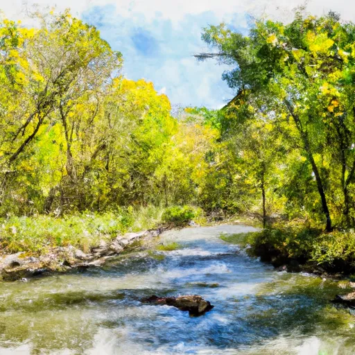 North Branch (Sections 19/30 Line) To Unnamed Creek In Sec 4, T37N, R13E
-
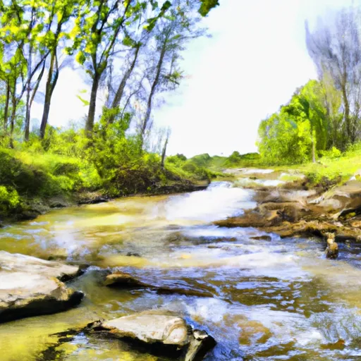 Unnamed Creek To Forest Boundary In Sec 14, T37N, R13E
-
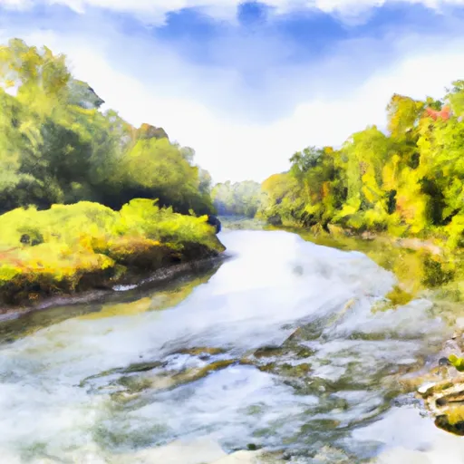 North Branch--Origin In Sec 10, T38N, R13E To 1/4 Mile West Of Highway 55
-
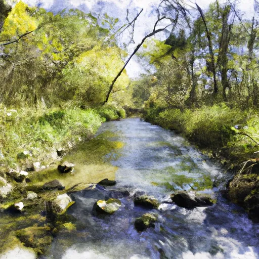 Main Branch--Headwaters To Forest Road 2174
-
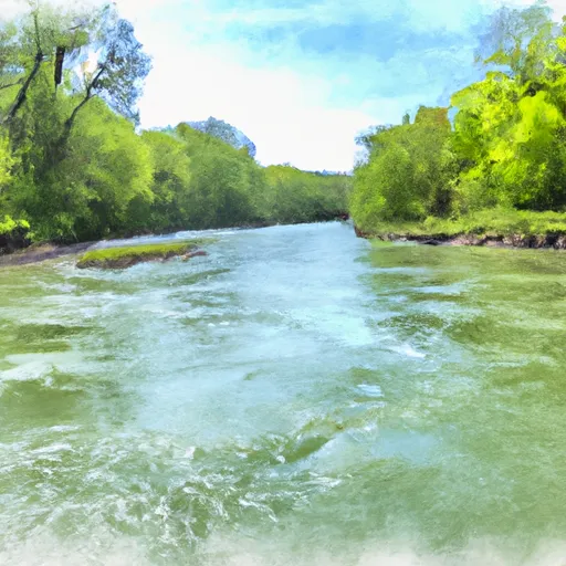 1/4 Mile West Of Highway 55 To Confluence With Main Branch
-
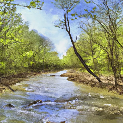 Main Branch--Origin In Sec 23, T38N, R13E To Forest Road 2167

 Hiles Mill Pond -- Access