Summary
According to the latest information available, this boat ramp is a concrete ramp and is 30 feet wide. It services the Hauser Lake, which is a reservoir located on the Missouri River.
The Hauser Dam Road Helena Valley Northeast boat ramp is suitable for various types of watercraft, including motorized and non-motorized boats. However, there are certain restrictions in place, including a 25-mph speed limit and a restriction on the use of personal watercraft within 600 feet of the shoreline. Additionally, all boats must have a valid registration or sticker, and all passengers must wear life jackets while on the water.
Overall, the Hauser Dam Road Helena Valley Northeast boat ramp is a popular spot for boaters in Montana, offering easy access to the beautiful Hauser Lake and its surrounding natural scenery.
°F
°F
mph
Wind
%
Humidity

 Hauser Dam Road Helena Valley Northeast
 WHITE SANDY BOAT RAMP
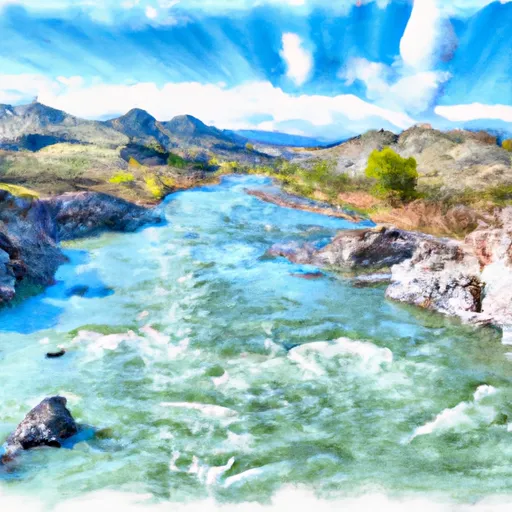 Missouri River
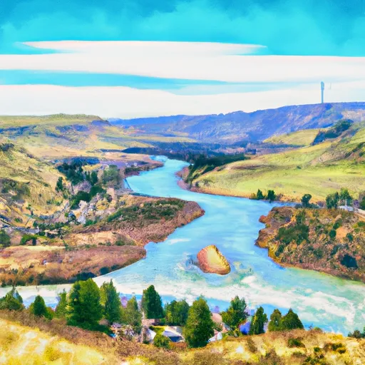 Town Of Nelson, Sec. 12, T12N, R2W To Missouri River, Sec. 19, T12N, R2W
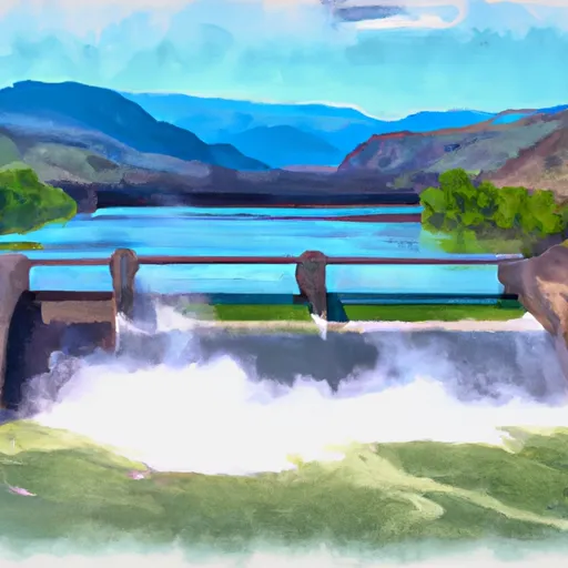 Hauser Dam, Sec. 29, T12N, R2W To Cochran Gulch, Sec. 18, T12N, R2W
 Missouri River Fishing Access Site
 Hauser Reservoir
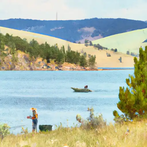 Helena Valley Regulating Reservoir