Helena Regulating Reservoir Road Lewis And Clark County Boat Launch Report
Leave a RatingLast Updated: February 22, 2026
Get the latest Boat Launch Report, Ramp Details, and Weather Forecast for Helena Regulating Reservoir Road Lewis And Clark County in Montana. Montana Ramp Details and Weather Forecast
Summary
°F
°F
mph
Wind
%
Humidity

 Helena Regulating Reservoir Road Lewis and Clark County
 DEVILS ELBOW BOAT RAMP
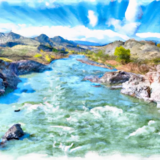 Missouri River
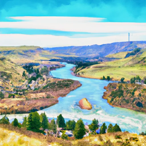 Town Of Nelson, Sec. 12, T12N, R2W To Missouri River, Sec. 19, T12N, R2W
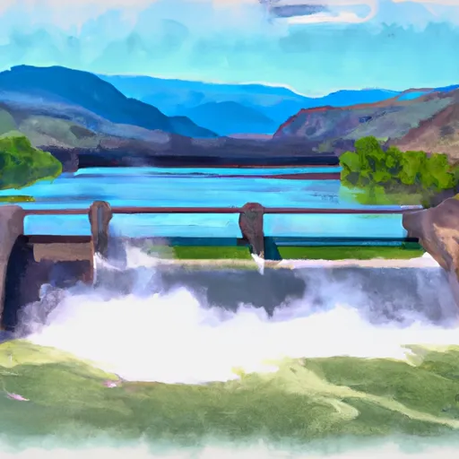 Hauser Dam, Sec. 29, T12N, R2W To Cochran Gulch, Sec. 18, T12N, R2W
 Hauser Reservoir
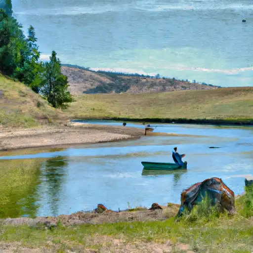 Prickly Pear Creek
 Spring Meadow Lake
 Missouri River Fishing Access Site