Summary
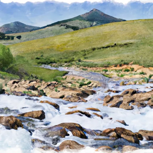
The segment of the river that runs from Mainstem Headwaters, Sec. 4, T15N, R18W to Boundary, Sec. 2, T13N, R18W is approximately 36 miles long and has a class rating of III-IV. The ideal streamflow range for this section of the river is between 500-2000 cfs.
The river rapids and obstacles that one can expect to encounter on this run include several class III rapids such as Jaws, Split Rock, and Deadman's Drop. There are also a couple of class IV rapids, including Devil's Elbow and Fang.
It is important to note that this section of the river is located on private property, so visitors must obtain permission from the landowner before accessing the river. Additionally, there are no regulations specific to this area, but all Montana state boating laws apply.
Overall, the Whitewater River run offers a thrilling experience for experienced kayakers and rafters, but caution should be exercised due to the powerful rapids and potential hazards. It is recommended to check local weather and water conditions before embarking on this run.
°F
°F
mph
Wind
%
Humidity
15-Day Weather Outlook
River Run Details
| Last Updated | 2026-02-07 |
| River Levels | 7940 cfs (5.9 ft) |
| Percent of Normal | 93% |
| Status | |
| Class Level | iii-iv |
| Elevation | ft |
| Streamflow Discharge | cfs |
| Gauge Height | ft |
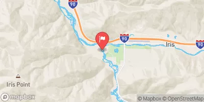
| Reporting Streamgage | USGS 12340500 |
5-Day Hourly Forecast Detail
Nearby Streamflow Levels
 Clark Fork Above Missoula Mt
|
1660cfs |
 Bitterroot River Near Missoula Mt
|
1410cfs |
 Clark Fork Below Missoula Mt
|
3010cfs |
 Clark Fork At Turah Bridge Nr Bonner Mt
|
787cfs |
 Blackfoot River Near Bonner Mt
|
836cfs |
 Rock Creek Near Clinton Mt
|
240cfs |
River Runs
-
 Mainstem Headwaters, Sec. 4, T15N, R18W To Boundary, Sec. 2, T13N, R18W
-
 Spring Gulch Headwaters, Sec. 12, T14N, R19W To Mainstem, Sec. 35, T14N, R19W
-
 Missoula Town Run
-
 East Fork Headwaters, Sec. 8, T14N, R17W To Mainstem, Sec. 14, T14N, R18W
-
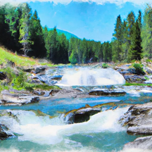 High Falls Creek Headwaters, Sec. 5, T14N, R18W To Mainstem, Sec. 2, T14N, R18W
-
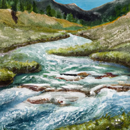 Lake Creek Headwaters, Sec. 30, T15N, R18W To Mainstem, Sec. 21, T15N, R18W


 Missoula Memorial Rose Garden
 Playfair Park
 Wilderness Rattlesnake
 Council Grove State Park