Summary
The ideal streamflow range for this segment is between 500 and 1500 cfs. With a class IV rating, it is recommended that all kayakers have previous experience navigating similar class rapids.
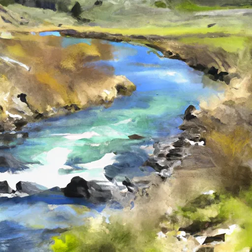
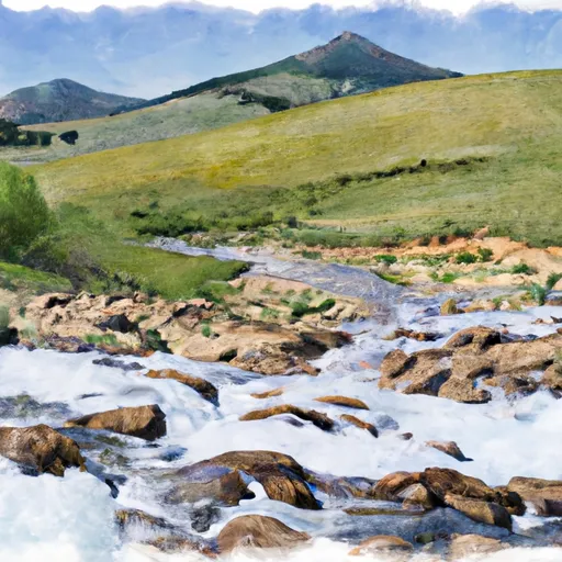
This segment of the river spans 5.5 miles and includes several challenging rapids such as “Double Drop” and “Big Timber”. Kayakers should be aware of potential obstacles such as fallen trees and debris in the river.
There are no specific regulations for this area, however, it is recommended that kayakers practice Leave No Trace principles and respect private property along the riverbanks. It is also important to wear a properly fitting personal flotation device at all times while on the river.
°F
°F
mph
Wind
%
Humidity
15-Day Weather Outlook
River Run Details
| Last Updated | 2026-02-07 |
| River Levels | 3180 cfs (4.59 ft) |
| Percent of Normal | 123% |
| Status | |
| Class Level | iv |
| Elevation | ft |
| Streamflow Discharge | cfs |
| Gauge Height | ft |
| Reporting Streamgage | USGS 12340000 |
5-Day Hourly Forecast Detail
Nearby Streamflow Levels
 Blackfoot River Near Bonner Mt
|
836cfs |
 Clark Fork Above Missoula Mt
|
1660cfs |
 Clark Fork At Turah Bridge Nr Bonner Mt
|
787cfs |
 Bitterroot River Near Missoula Mt
|
1410cfs |
 South Fork Jocko River Near Arlee Mt
|
21cfs |
 Clark Fork Below Missoula Mt
|
3010cfs |
Area Campgrounds
| Location | Reservations | Toilets |
|---|---|---|
 Johnsrud Park FAS
|
||
 THIBODEAU CAMPGROUND
|
||
 Thibodeau FAS
|
||
 Missoula KOA
|
River Runs
-
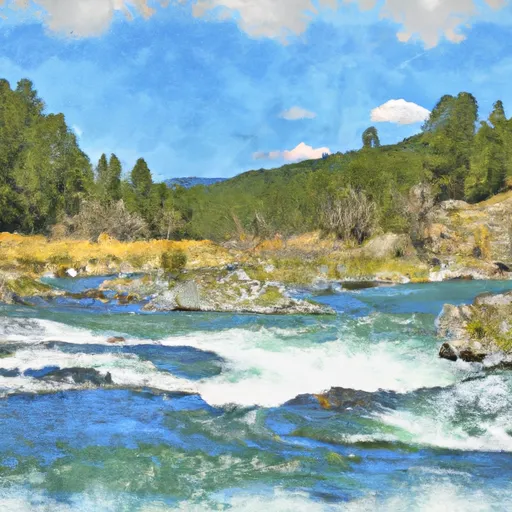 East Fork Headwaters, Sec. 8, T14N, R17W To Mainstem, Sec. 14, T14N, R18W
-
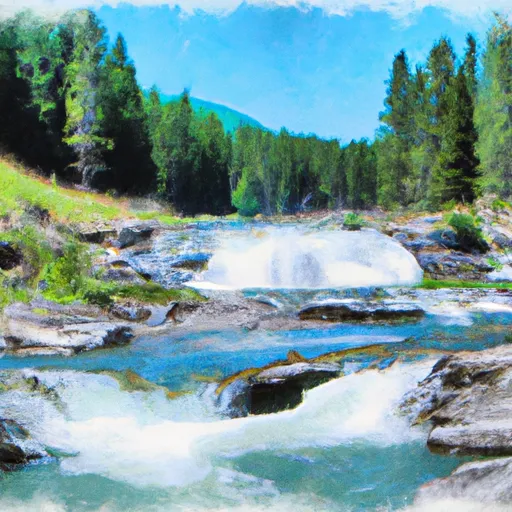 High Falls Creek Headwaters, Sec. 5, T14N, R18W To Mainstem, Sec. 2, T14N, R18W
-
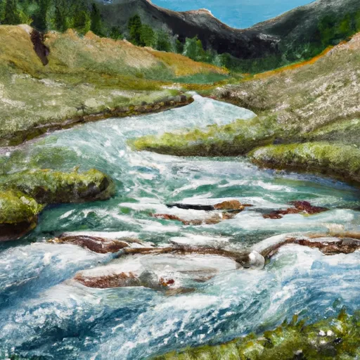 Lake Creek Headwaters, Sec. 30, T15N, R18W To Mainstem, Sec. 21, T15N, R18W
-
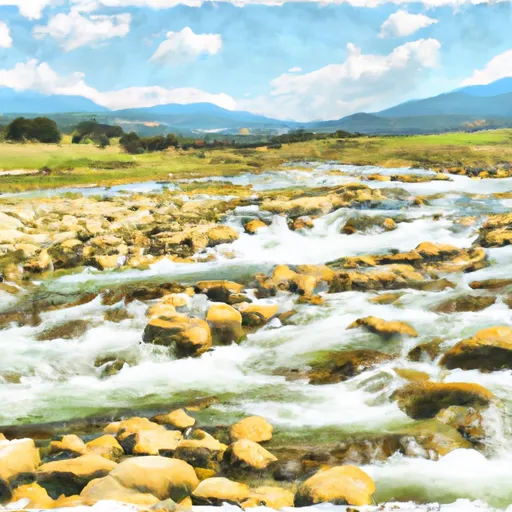 Wrangle Creek Headwaters, Sec. 18, T15N, R18W To Mainstem, Sec. 21, T15N, R18W
-
 Spring Gulch Headwaters, Sec. 12, T14N, R19W To Mainstem, Sec. 35, T14N, R19W
-
 Mainstem Headwaters, Sec. 4, T15N, R18W To Boundary, Sec. 2, T13N, R18W


 MT 200 10495, Missoula County
 Johnsrud Boat Launch
 Whitaker Boat Launch
 WHITAKER BRIDGE DAY USE