Summary
It is 20 feet wide and provides access to the Rio Grande River, which flows through the area. The ramp is specifically designed for small boats, canoes, kayaks, and rafts, and is not suitable for larger watercraft or motorized boats.
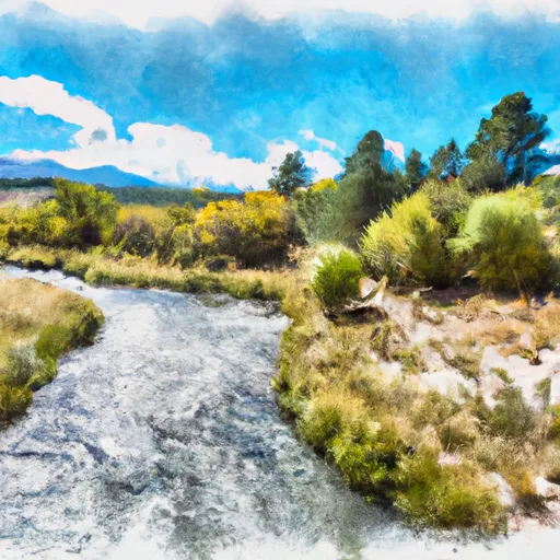
The John Dunn Bridge Boat Launch provides access to a beautiful section of the Rio Grande River, known for its scenic beauty and excellent fishing opportunities. The area is popular among recreational paddlers and anglers, who come to enjoy the peaceful waters and stunning natural surroundings.
Overall, the John Dunn Bridge Boat Launch is a well-maintained and easy-to-use boat ramp that provides convenient access to the Rio Grande River in New Mexico. It is an ideal location for those looking to explore the river with small watercraft and enjoy the natural beauty of the area.

 John Dunn Bridge Boat Launch
 John Dunn Bridge Boat Takeout
 Headwaters To Nf Boundary
 Bridge On Hwy 522 To Red Wsr