Summary
According to the latest information available, the ramp is approximately 12 feet wide and has a gentle slope, making it easy to launch and retrieve boats.
The ramp provides access to Santeetlah Lake, which is a 2,800-acre reservoir located in the western part of North Carolina. Santeetlah Lake is known for its clear, blue water and is popular among anglers and water sports enthusiasts. The lake is also home to a diverse range of fish species, including bass, crappie, and catfish.
As for the types of craft permitted on the water, motorized boats are allowed on Santeetlah Lake, but there are specific restrictions in place. Boats with motors over 10 horsepower are required to have a valid registration and a boating safety certificate. Additionally, personal watercraft (such as jet skis) are not permitted on the lake.
It's worth noting that regulations and restrictions can change over time, so it's always a good idea to check the latest information before heading out to the Massey Branch Road 1184 boat ramp or any other boat launch in North Carolina.
°F
°F
mph
Wind
%
Humidity
15-Day Weather Outlook
5-Day Hourly Forecast Detail
Area Streamflow Levels
| CHEOAH RIVER NR BEARPEN GAP NR TAPOCO | 214cfs |
| VALLEY RIVER AT TOMOTLA | 296cfs |
| LITTLE TENNESSEE RIVER AT NEEDMORE | 691cfs |
| NANTAHALA RIVER NEAR RAINBOW SPRINGS | 197cfs |
| TUCKASEGEE RIVER AT BRYSON CITY | 1200cfs |
| LITTLE RIVER ABOVE TOWNSEND | 282cfs |

 Massey Branch Road 1184, Robbinsville
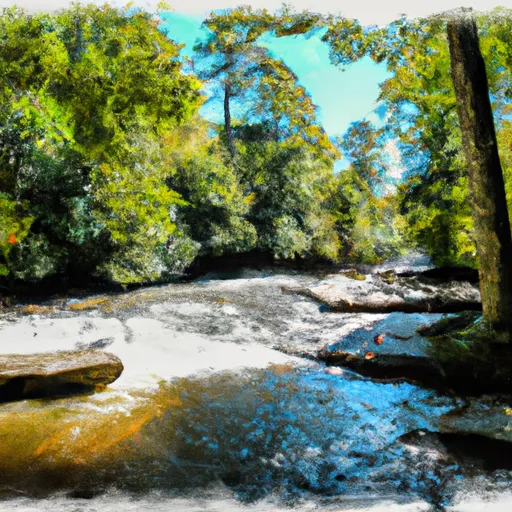 Polecat Branch To Snowbird Picnic Area
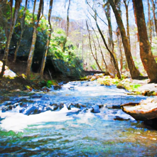 Owlcamp Branch To Polecat Branch
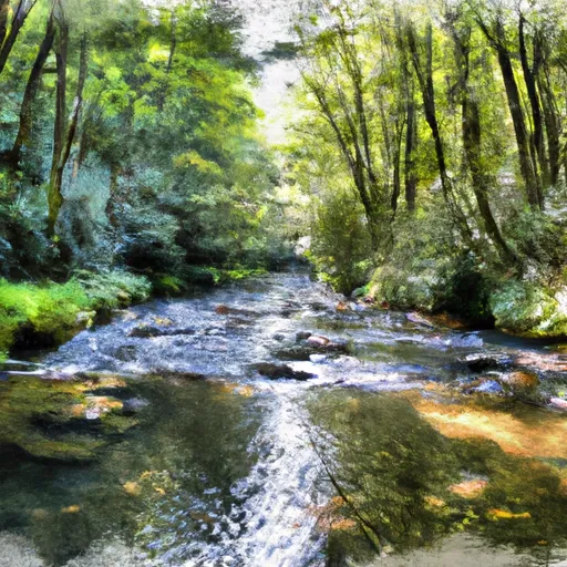 Headwaters Near Mitchell Lick To Owlcamp Branch
 Santeetlah Lake
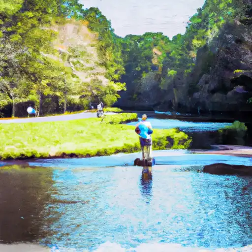 Augerhole Branch
 Birchfield Branch