Summary
The ideal streamflow range for this section of the river is between 200 and 500 cubic feet per second (cfs), which provides a challenging yet manageable experience. The class rating for this section of the river is between III and IV, which means that it includes some technical rapids and obstacles such as large waves, holes, and boulders that require precise maneuvering.
The segment mileage for this river run is approximately 6 miles, which can take anywhere from 2 to 4 hours to complete depending on the skill level and experience of the paddler. Some of the specific rapids and obstacles that paddlers may encounter along the way include Pinball, S-Turn, and Gorilla, which is considered to be one of the most challenging rapids in the entire river.
It is important for paddlers to be aware of the specific regulations and guidelines that apply to this area. For example, there are designated put-in and take-out locations, and all paddlers must wear a personal flotation device (PFD) at all times while on the river. Additionally, there are restrictions on the use of certain types of equipment such as inflatable kayaks and rafts, and paddlers are encouraged to check with local authorities before embarking on their journey.
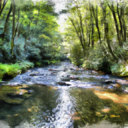
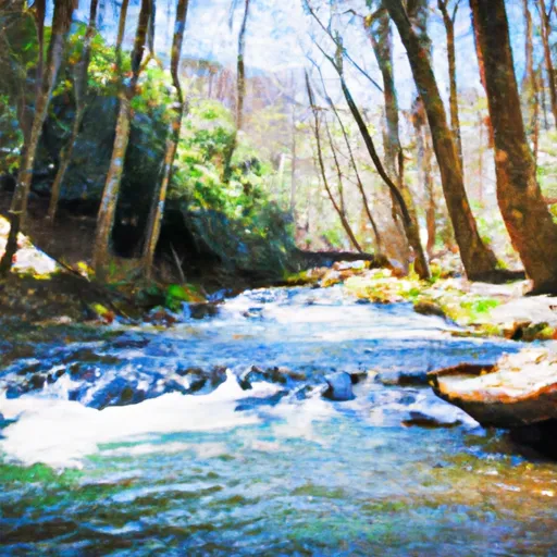
Overall, the Whitewater River run Headwaters Near Mitchell Lick To Owlcamp Branch is a thrilling and rewarding experience for those who are up for the challenge. With the right equipment and preparation, paddlers can navigate this section of the river safely and enjoyably, taking in the beautiful scenery and adrenaline-pumping rapids along the way.
°F
°F
mph
Wind
%
Humidity
15-Day Weather Outlook
River Run Details
| Last Updated | 2026-02-07 |
| River Levels | 179 cfs (2.34 ft) |
| Percent of Normal | 48% |
| Status | |
| Class Level | None |
| Elevation | ft |
| Streamflow Discharge | cfs |
| Gauge Height | ft |
| Reporting Streamgage | USGS 03550000 |
5-Day Hourly Forecast Detail
Nearby Streamflow Levels
Area Campgrounds
| Location | Reservations | Toilets |
|---|---|---|
 Snowbird Camping
|
||
 Whigg Meadow
|
||
 Wolf Laurel Hunters Camp FDR#81F
|
||
 Rattler Ford Group Campground
|
||
 Rattler Ford Campground
|
||
 State Line
|


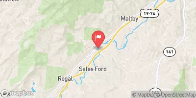
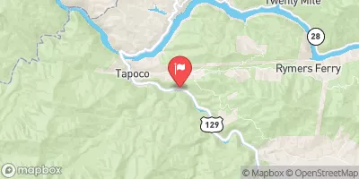
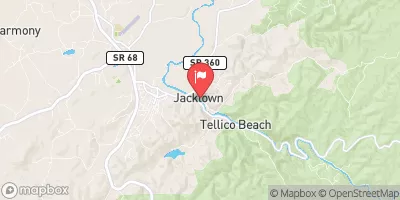
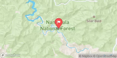
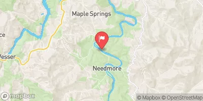
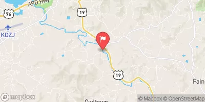
 Headwaters Near Mitchell Lick To Owlcamp Branch
 Owlcamp Branch To Polecat Branch
 Polecat Branch To Snowbird Picnic Area
 Headwaters Near Graham County Line To Nc/Tn State Line