Summary
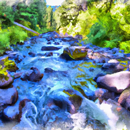
The ramp provides boaters with access to the Rogue River, which flows through the area. The boat ramp is a concrete structure with a width of 20 feet, making it suitable for launching most types of boats.
According to the latest information available, the ramp can accommodate a variety of watercraft, including motorboats, kayaks, canoes, and rafts. However, there are restrictions on the use of personal watercraft such as jet skis.
Savage Rapids County Park is a popular destination for recreational boaters and anglers, who come to enjoy the scenic beauty of the Rogue River and its surrounding wilderness. The park also features picnic areas, hiking trails, and other amenities.
In terms of location, the Savage Rapids County Park boat ramp is situated at latitude 42.41888428 and longitude -123.21971893, which can be accessed via the nearby Interstate-5 highway. The park is well-maintained and regularly monitored to ensure the safety and enjoyment of all visitors.
°F
°F
mph
Wind
%
Humidity
15-Day Weather Outlook
5-Day Hourly Forecast Detail
Area Streamflow Levels
| ROGUE RIVER AT GRANTS PASS | 2300cfs |
| APPLEGATE RIVER NEAR WILDERVILLE | 395cfs |
| ROGUE RIVER AT RAYGOLD NEAR CENTRAL POINT | 2040cfs |
| APPLEGATE RIVER NEAR APPLEGATE | 213cfs |
| BEAR CREEK AT MEDFORD | 70cfs |
| STAR GULCH NEAR RUCH | 2cfs |

 Savage Rapids County Park
 Grants Pass to Grave Creek
 Left Fork Foots Creek
 Gold Ray Dam to Grants Pass