2026-02-19T10:00:00-08:00
* WHAT...For the Winter Weather Advisory below 2000 ft, snow expected. Additional snow accumulations of 1 to 3 inches. For the Winter Storm Warning above 2000 ft, heavy snow expected. Total snow accumulations 3 to 6 inches, except up to 10 inches above 2500 feet. * WHERE...For the Winter Weather Advisory below 2000 ft, this includes Medford, Ashland, Gold Hill, Jacksonville, Applegate, Shady Cove and Eagle Point. This also includes portions of I-5 and Highways 140, 238, 62 and 234. For the Winter Storm Warning, this includes Prospect and Butte Falls. This also includes portions of I-5, Highways 140, 238, 62 and 227, and includes Jacksonville Hill on State Highway 238 at 2150 ft. * WHEN...Until 10 AM PST Thursday. * IMPACTS...Travel may be very difficult to impossible. The hazardous conditions could impact the evening and morning commutes. * ADDITIONAL DETAILS...Precipitation will be lighter and more showery tonight into Wednesday with mostly light accumulations. Wet, slushy roads could turn icy. Another round of heavier snowfall is expected Wednesday night into Thursday. Visit weather.gov/mfr/winter for additional snow probabilities
Summary
The run begins with a portage around the Gold Ray Dam before encountering rapids such as Upper and Lower Black Bar Falls and Nugget Falls. The best time to float this section of water is in the summer and early fall, with a recommended flow range of 1,500 to 3,000 CFS. Other obstacles to watch out for include rocks, sweepers, and fallen trees. Overall, this river run is great for intermediate kayakers and rafters looking for a fun and challenging adventure.
°F
°F
mph
Wind
%
Humidity
15-Day Weather Outlook
River Run Details
| Last Updated | 2023-06-13 |
| River Levels | 2400 cfs (1.98 ft) |
| Percent of Normal | 86% |
| Optimal Range | 700-3500 cfs |
| Status | Runnable |
| Class Level | II+ to IV |
| Elevation | 1,149 ft |
| Run Length | 24.5 Mi |
| Streamflow Discharge | 1970 cfs |
| Gauge Height | 1.7 ft |
| Reporting Streamgage | USGS 14359000 |
5-Day Hourly Forecast Detail
Nearby Streamflow Levels
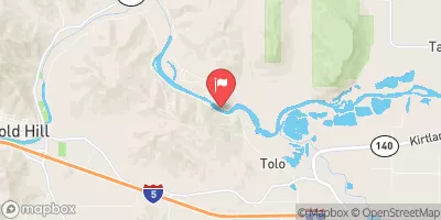 Rogue River At Raygold Near Central Point
|
1730cfs |
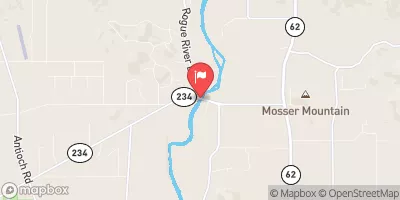 Rogue River At Dodge Bridge
|
1420cfs |
 Bear Creek At Medford
|
68cfs |
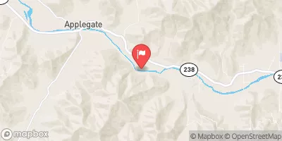 Applegate River Near Applegate
|
211cfs |
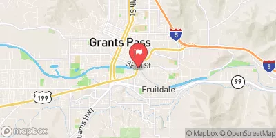 Rogue River At Grants Pass
|
1790cfs |
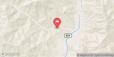 Star Gulch Near Ruch
|
1cfs |
Area Campgrounds
| Location | Reservations | Toilets |
|---|---|---|
 Gold Hill KOA
|
||
 DrifTers
|
||
 Valley of the Rogue State Park
|
||
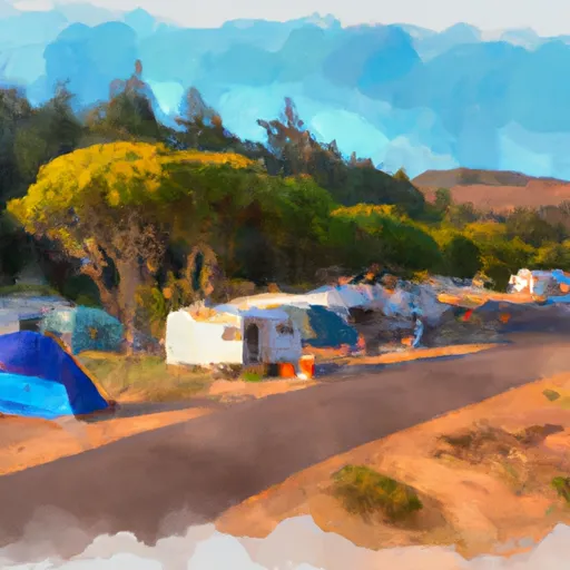 Chinook winds rv
|
||
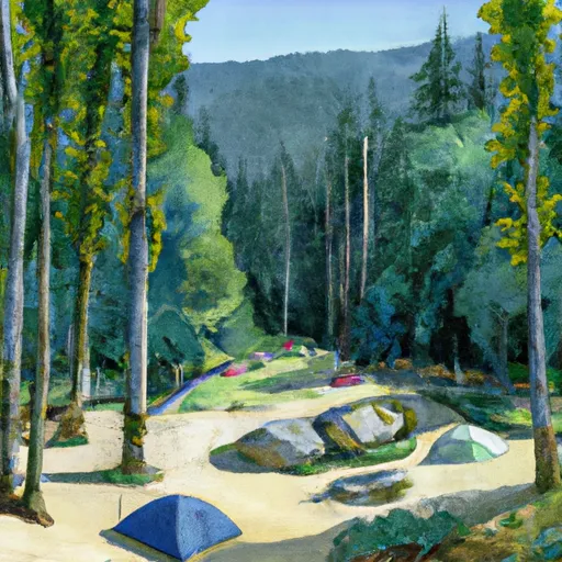 Rogue river campground
|
||
 Riverfront
|


 Fishers Ferry
 Gold Ray Dam to Grants Pass
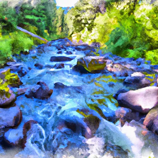 Left Fork Foots Creek
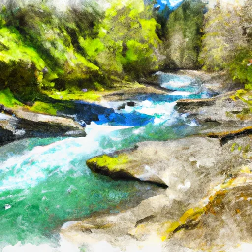 Sams Creek
 Gold Nugget Recreation Area
 Gold Hill Recreational Park
 Gold Hill City Park
 TouVelle State Recreation Site
 Robert Pfaff Park