Summary
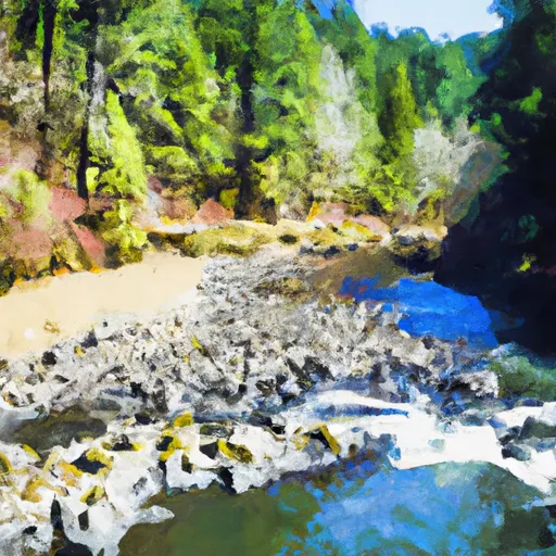
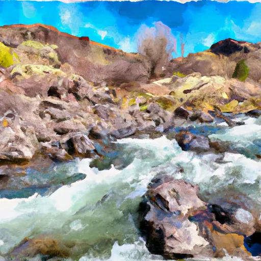
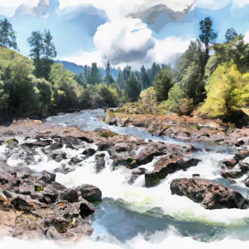
However, based on the coordinates provided (latitude: 43.79044722700007, longitude: -123.81266637899995), it is likely that the ramp services the Smith River, which runs through Douglas County in southwestern Oregon.
Without further information, it is difficult to determine the width of the ramp or the types of watercraft permitted on the river. It is important to note that regulations and restrictions regarding boating and fishing on Oregon waterways are subject to change and may vary depending on the location and time of year. It is recommended that individuals interested in using Smith River Falls boat ramp or accessing the Smith River contact local authorities or visit the Oregon Department of Fish and Wildlife website for up-to-date information.
°F
°F
mph
Wind
%
Humidity
15-Day Weather Outlook
Nearby Boat Launches
5-Day Hourly Forecast Detail
Area Streamflow Levels
| UMPQUA RIVER NEAR ELKTON | 3980cfs |
| SIUSLAW RIVER NEAR MAPLETON | 1640cfs |
| LONG TOM RIVER NEAR NOTI | 228cfs |
| LITTLE WOLF CREEK NEAR TYEE | 9cfs |
| EAST FORK LOBSTER CREEK NEAR ALSEA | 21cfs |
| LONG TOM RIVER NEAR ALVADORE | 44cfs |
River Runs
-
 East Section Line Of Ne1/4Se1/4 Of Sec 16, T21S, R10W To Confluence With Smith River
-
 Eastern Siuslaw Nf Boundary To East Section Line Of Ne1/4Se1/4 Of Sec 16, T21S, R10W
-
 Confluence With Jump Creek To East Section Line Of Sec 36, T19S, R10W
-
 East Section Line Of Sec 36, T19S, R10W To South Section Line Of Sec 32, T19S, R10W
-
 Eastern Siuslaw Nf Boundary To Confluence With Jump Creek

 Smith River Falls
 Lower Drift Take-Out