Eastern Siuslaw Nf Boundary To Confluence With Jump Creek River Run
Community Reviews
Been here? Share the conditions.
Reviews, ratings & photos are added in the free Snoflo iOS app — rate a spot, tag the conditions, and your visit is verified by location. Add or manage your reviews from the app.
Eastern Siuslaw Nf Boundary To Confluence With Jump Creek
Kayakers and rafters must follow specific regulations when navigating this river. A permit is required to access the river, and all visitors must comply with Leave No Trace principles to protect the environment and wildlife. Additionally, visitors should be prepared for challenging conditions, including cold water and steep terrain. Proper equipment and safety gear are essential for a successful run on this river.
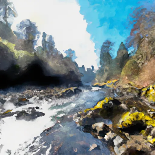
In conclusion, the Whitewater River run in Oregon is a highly challenging and scenic adventure for experienced kayakers and rafters. The ideal streamflow range is between 600-1500 cfs, and the segment covers 4.5 miles from the Eastern Siuslaw National Forest boundary to the confluence with Jump Creek. The rapids on this run are Class IV+, and visitors must follow specific regulations to protect the environment and ensure their safety.
Plan your run down to the hour
Same weather feed Snoflo's iOS app uses -- updated continuously from NOAA / yr.no. Watch the precipitation column on the meteogram; rain ahead of a run typically lifts flows 12-48 hours later depending on the basin.
Next 5 days, hour by hour
Temperature line with weather symbols on top, snow + rain accumulation as columns, humidity as a dotted line.
5-day forecast table
Every 3 hours, broken out across temperature, snow, rain, humidity, and wind. Each cell is colour-coded relative to the column min/max.
| Time | Condition | Temp (°F) | Snow (in) | Rain (in) | Humidity (%) | Wind (mps) | Wind dir |
|---|---|---|---|---|---|---|---|
| Loading detailed forecast… | |||||||
15-day temperature & precipitation
Daily temperatures, snow, and rain projected over the next two weeks -- the upstream story that drives next week's flows.
Regional streamflow levels
USGS streamgauges around Eastern Siuslaw Nf Boundary To Confluence With Jump Creek -- useful for spotting upstream pulses and gauging which tributary is contributing what.
| Streamgauge | Discharge | View |
|---|---|---|
| Siuslaw River Near Mapleton | 107 cfs | → |
| Long Tom River Near Noti | 14 cfs | → |
| East Fork Lobster Creek Near Alsea | 1 cfs | → |
| Umpqua River Near Elkton | 798 cfs | → |
| Long Tom River Near Alvadore | 62 cfs | → |
| Alsea River Near Tidewater | 81 cfs | → |
Plan a longer trip
The closest boat launches, other paddle runs, and campgrounds so a day on the water can grow into a full weekend.
Boat launches
- Mapleton Landing
- Mapleton Transient Float
- Richardson's Pole Slide
- Linslaw Park
- Whittaker Creek
- Whittaker Creek Campground
Other river runs
- Confluence With Jump Creek To East Section Line Of Sec 36, T19s, R10w
- East Section Line Of Sec 36, T19s, R10w To South Section Line Of Sec 32, T19s, R10w
- Confluence Of Lake Creek To Launch Site At Wildcat Creek
- Siuslaw River Seg C
- Wildcat Creek Launch Site To Clay Creek Campground
Campgrounds
- Archie Knowles
- Whittaker Creek Recreation Site
- Whittaker Creek Campground
- Whittaker Creek
- Vincent Creek Recreation Site
- Vincent Creek Campground
Whitewater safety
- Check the flow before you run
- Use the linked-gauge card and Regional Flow panel above. Class ratings change with flow -- a Class III at low water can become Class IV+ at high water.
- Know your skill ceiling
- Pick runs comfortably below your ceiling. Cold-water and big-water runs raise the consequences of any mistake.
- Wear the right gear
- Helmet, PFD, drysuit / wetsuit when water is below 60°F. Throw bag, knife, and whistle on your person, not in the boat.
- Scout, set safety, and run with a team
- Scout new rapids on foot, set safety with throw bags above the consequence pool, and run with at least one other competent paddler.
- Respect the river
- Strainers, undercuts, low-head dams, and wood can kill at any class rating. When in doubt, portage.
Set push alerts in the Snoflo app
Save Eastern Siuslaw Nf Boundary To Confluence With Jump Creek as a favorite, set a discharge threshold (e.g. "alert me when flow hits 600 cfs"), and the iOS app pushes the moment the linked gauge crosses.
About Eastern Siuslaw Nf Boundary To Confluence With Jump Creek
What's the optimal flow for Eastern Siuslaw Nf Boundary To Confluence With Jump Creek?
The optimal flow depends on the section and the craft. Check the Run Details panel for the linked gauge and current status.
How fresh is the cfs reading on this page?
The linked USGS streamgauge reports continuously (every 15 minutes); Snoflo refreshes throughout the day. Hover the streamflow sparkline to read individual datapoints.
What's the whitewater class?
See the Run Details panel for the class rating Snoflo tracks for this run. Class ratings change with flow -- a Class III at low water can become Class IV in high water.
Where do I put in / take out?
Tap Directions in the hero above to open driving directions to the put-in. For shuttle planning, check the Nearby Boat Launches panel and the river run operator's site.
Can I get alerts when flows hit the optimal range?
Yes -- alerts are managed in the Snoflo iOS app. Favorite this run, set a discharge threshold, and you'll get a push the moment the gauge crosses.
Other runs near here
Snoflo-tracked paddle runs within driving distance of Eastern Siuslaw Nf Boundary To Confluence With Jump Creek.