2026-02-19T10:00:00-08:00
* WHAT...For the Winter Weather Advisory below 1500 ft, wet snow. Additional snow accumulations up to 3 inches. For the Winter Storm Warning above 1500 ft, heavy snow. Additional snow accumulations 3 to 6 inches, except up to 10 inches above 2500 ft. * WHERE...For the Winter Weather Advisory below 1500 ft, this includes Roseburg, Elkton, Sutherlin, Camas Valley and Canyonville as well as portions of I-5, including Roberts Mountain Pass, and Highways 42 and 138. For the Winter Storm Warning above 1500 ft, this includes Glendale and Tiller as well as portions of I-5 south of Canyonville and Canyon Creek Pass on I-5 around 2000 ft. * WHEN...Until 10 AM PST Thursday. * IMPACTS...Travel may be very difficult to impossible. The hazardous conditions could impact the evening and morning commutes. * ADDITIONAL DETAILS...Precipitation will be lighter and more showery tonight into Wednesday with mostly light accumulations. Wet, slushy roads could turn icy. Another round of heavier snowfall is expected Wednesday night into Thursday. Visit weather.gov/mfr/winter for additional snow probabilities.
Summary
The ideal streamflow range for this section of the river is between 400 and 2,000 cfs, with peak flow occurring in late May or early June. The class rating for this section of the river is III, with some rapids reaching a class IV rating.
The segment mileage for this section of the river is approximately 6 miles. The main obstacles on this stretch of the river include steep drops, narrow channels, and tight corners. Some of the specific rapids on this section of the river include "Tombstone," "Pinball," and "The Chute."
There are no specific regulations for this area, but it is important to follow general safety guidelines and to always wear appropriate safety gear such as a helmet and life jacket. Additionally, it is important to be aware of private property boundaries and to avoid trespassing.
°F
°F
mph
Wind
%
Humidity
15-Day Weather Outlook
River Run Details
| Last Updated | 2026-02-07 |
| River Levels | 380 cfs (3.73 ft) |
| Percent of Normal | 28% |
| Status | |
| Class Level | iv |
| Elevation | ft |
| Streamflow Discharge | cfs |
| Gauge Height | ft |
| Reporting Streamgage | USGS 14307620 |
5-Day Hourly Forecast Detail
Nearby Streamflow Levels
 Siuslaw River Near Mapleton
|
1640cfs |
 Long Tom River Near Noti
|
228cfs |
 Umpqua River Near Elkton
|
3980cfs |
 East Fork Lobster Creek Near Alsea
|
21cfs |
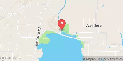 Long Tom River Near Alvadore
|
44cfs |
 Little Wolf Creek Near Tyee
|
9cfs |
Area Campgrounds
River Runs
-
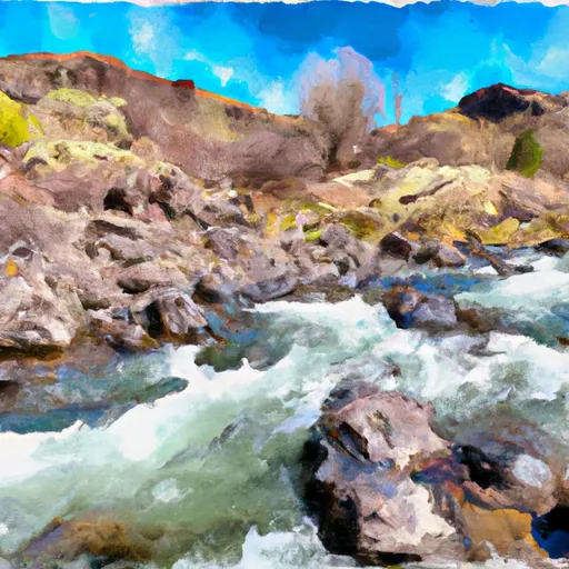 Confluence With Jump Creek To East Section Line Of Sec 36, T19S, R10W
-
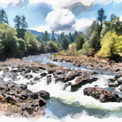 East Section Line Of Sec 36, T19S, R10W To South Section Line Of Sec 32, T19S, R10W
-
 Eastern Siuslaw Nf Boundary To Confluence With Jump Creek
-
 East Section Line Of Ne1/4Se1/4 Of Sec 16, T21S, R10W To Confluence With Smith River
-
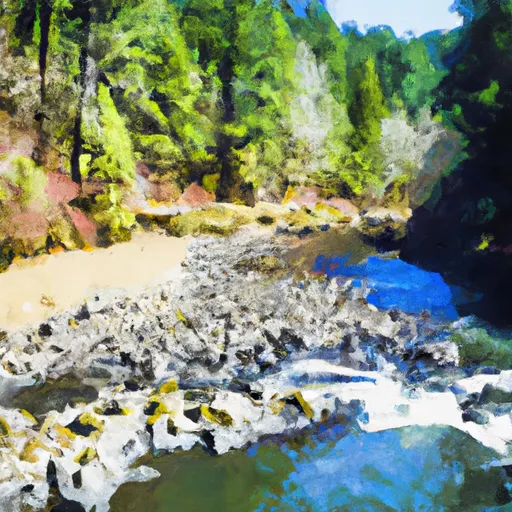 Eastern Siuslaw Nf Boundary To East Section Line Of Ne1/4Se1/4 Of Sec 16, T21S, R10W
-
 Siuslaw River Seg C


 Smith River Falls Campground
 Smith River Falls Recreation Site
 Smith River Falls
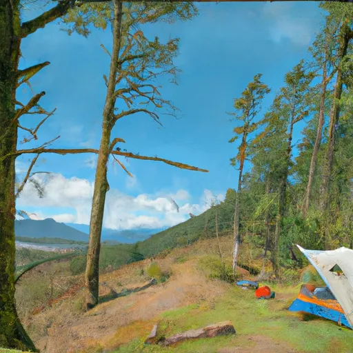 Vincent Creek Recreation Site
 Fawn Creek Campground
 Vincent Creek Campground
 Lower Drift Take-Out
 Smith River Falls