East Section Line Of Sec 36, T19s, R10w To South Section Line Of Sec 32, T19s, R10w Paddle Report
Last Updated: 2026-02-07
The Whitewater River run East Section Line of Sec 36, T19S, R10W to South Section Line of Sec 32, T19S, R10W in the state of Oregon is an exciting and challenging whitewater adventure.
Summary
This section of the river has a total segment mileage of 8.2 miles and is rated as Class III-IV.
The ideal streamflow range for this section of the river is between 600-3000 cubic feet per second (cfs). This range provides excellent rapids and navigational challenges without being too dangerous for experienced paddlers. It is essential to check current streamflow conditions before planning a trip to this area, as water levels can fluctuate rapidly.
The specific river rapids and obstacles on this section of the Whitewater River include tight chutes, steep drops, and large rocks. Paddlers should be prepared for technical maneuvers and quick decision-making to navigate these rapids safely. Helmets and personal flotation devices are essential for all paddlers.
Specific regulations for this area include obtaining a permit from the Bureau of Land Management before entering the river. Additionally, all paddlers must adhere to Leave-No-Trace principles and pack out all trash and waste. Camping is permitted in designated areas only.
In summary, the Whitewater River run East Section Line of Sec 36, T19S, R10W to South Section Line of Sec 32, T19S, R10W in the state of Oregon is a thrilling whitewater adventure with ideal streamflow ranges, challenging rapids, and specific regulations to protect this beautiful natural area. Paddlers should be experienced and prepared for technical maneuvers and quick decisions to navigate this section of the river safely.
°F
°F
mph
Wind
%
Humidity
15-Day Weather Outlook
River Run Details
| Last Updated | 2026-02-07 |
| River Levels | 380 cfs (3.73 ft) |
| Percent of Normal | 28% |
| Status | |
| Class Level | iii-iv |
| Elevation | ft |
| Streamflow Discharge | cfs |
| Gauge Height | ft |
| Reporting Streamgage | USGS 14307620 |
5-Day Hourly Forecast Detail
Nearby Streamflow Levels
 Siuslaw River Near Mapleton
|
2420cfs |
 Long Tom River Near Noti
|
252cfs |
 Umpqua River Near Elkton
|
10800cfs |
 East Fork Lobster Creek Near Alsea
|
14cfs |
 Long Tom River Near Alvadore
|
40cfs |
 Little Wolf Creek Near Tyee
|
16cfs |
Area Campgrounds
River Runs
-
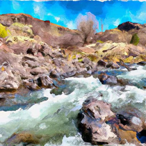 Confluence With Jump Creek To East Section Line Of Sec 36, T19S, R10W
-
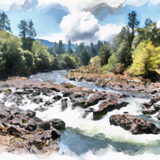 East Section Line Of Sec 36, T19S, R10W To South Section Line Of Sec 32, T19S, R10W
-
 Eastern Siuslaw Nf Boundary To Confluence With Jump Creek
-
 East Section Line Of Ne1/4Se1/4 Of Sec 16, T21S, R10W To Confluence With Smith River
-
 Eastern Siuslaw Nf Boundary To East Section Line Of Ne1/4Se1/4 Of Sec 16, T21S, R10W
-
 Siuslaw River Seg C


 Smith River Falls Campground
 Smith River Falls Recreation Site
 Smith River Falls
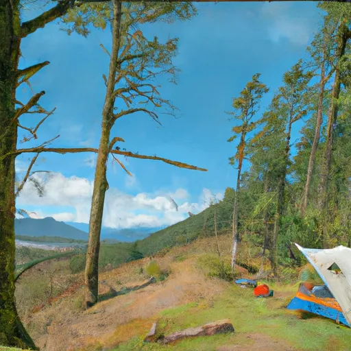 Vincent Creek Recreation Site
 Fawn Creek Campground
 Vincent Creek Campground
 Lower Drift Take-Out
 Smith River Falls