2026-02-19T10:00:00-08:00
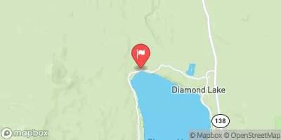
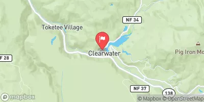
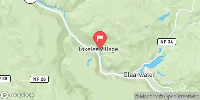
* WHAT...Snow expected. Additional snow accumulations 4 to 8 inches over the Cascade Foothills, except 8 to 16 inches in the mountains. Winds gusting as high as 35 mph over high and exposed terrain. * WHERE...The southern Oregon Cascades and Siskiyou Mountains, and Eastern Douglas County Foothills. Including the locations of...Toketee Falls, Steamboat, Crescent Lake, Diamond Lake, Union Creek, Howard Prairie. This also includes the following passes or notable locations... Siskiyou Pass on I-5 at 4310 ft. Lake of the Woods on 140 at 5070 ft. Diamond Lake Junction on state highways 230 & 138 at 4478 ft. Mt. Ashland ski road and lodge at 6500 ft. Caves National Monument near highway 46 at 4000 ft. Willamette Pass on state highway 58 at 5090 ft. * WHEN...Until 10 AM PST Thursday. * IMPACTS...Travel may be difficult and there may be delays in your commute. The hazardous conditions could impact the evening and morning commutes. * ADDITIONAL DETAILS...Snow will be lighter tonight into Wednesday, then increase again Wednesday night into Thursday. Visit weather.gov/mfr/winter for additional snow probabilities
Summary
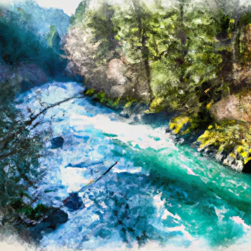
The ideal streamflow range for this run is between 400 and 2,000 cubic feet per second (cfs). The segment is rated class III to IV, offering exciting rapids and challenging obstacles such as Double Trouble, Jumpoff Joe, and Pinball. The run includes continuous rapids, tight squeezes, and steep drops.
It is important to note that a permit is required to access the Whitewater River run, and groups must be limited to no more than 12 people. Additionally, all visitors must adhere to the Leave No Trace principles to preserve the natural beauty of the area. The Umpqua National Forest also has specific regulations in place for camping, fire restrictions, and food storage to protect the wildlife and ecosystem.
°F
°F
mph
Wind
%
Humidity
15-Day Weather Outlook
River Run Details
| Last Updated | 2026-02-07 |
| River Levels | 145 cfs (5.14 ft) |
| Percent of Normal | 46% |
| Status | |
| Class Level | iii |
| Elevation | ft |
| Streamflow Discharge | cfs |
| Gauge Height | ft |
| Reporting Streamgage | USGS 14315950 |
5-Day Hourly Forecast Detail
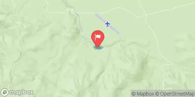
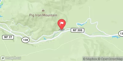
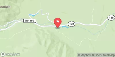
Nearby Streamflow Levels
Area Campgrounds
| Location | Reservations | Toilets |
|---|---|---|
 Hamaker
|
||
 Happy Campsize
|
||
 Hummingbird Campsite
|
||
 Beaver Shelter
|
||
 Rocky Ridge Forest Camp
|
||
 Lake West Nordic Shelter
|


 Thielsen View
 Headwaters To Rogue-Umpqua Wilderness Boundary
 Rogue-Umpqua Wilderness Boundary To Confluence With North Fork Rogue River
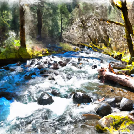 Headwaters To Confluence Of Foster Creek
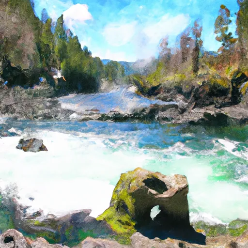 Crater Lake Np Boundary To Confluence With Rogue River