Summary
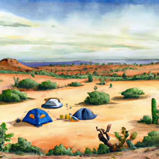
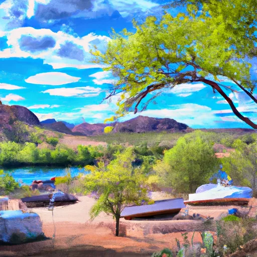
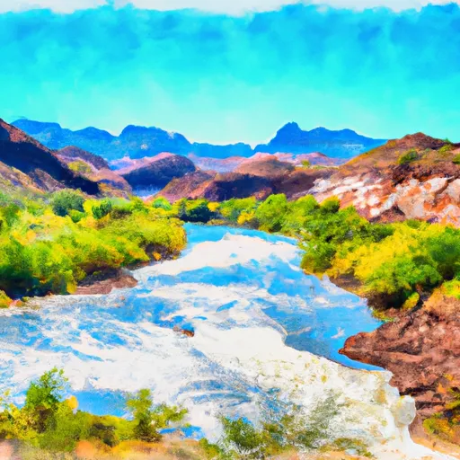
The campsite is situated in the Tonto National Forest, providing visitors with breathtaking views of the surrounding wilderness. The area is known for its diverse wildlife, including bald eagles, mountain lions, and desert bighorn sheep.
There are numerous points of interest near the campground, including the nearby Roosevelt Lake, which offers opportunities for fishing, boating, and swimming. Visitors can also explore the nearby Tonto Natural Bridge State Park and the Apache Trail, which winds through the Superstition Mountains.
The campground offers a variety of amenities, including picnic tables, fire rings, and vault toilets. There are 17 campsites available on a first-come-first-serve basis, which can accommodate tents or small RVs. It is recommended to arrive early to secure a spot during peak season.
One interesting fact about the area is that it is known as one of the darkest skies in the world, making it a prime spot for stargazing. The best time of year to visit is during the fall and spring when temperatures are mild, averaging around 75 degrees Fahrenheit during the day and 45 degrees at night. Overall, Point camping area is an excellent spot for nature lovers and outdoor enthusiasts to take in the beauty of Arizona's wilderness.
°F
°F
mph
Wind
%
Humidity
15-Day Weather Outlook
Nearby Campgrounds
5-Day Hourly Forecast Detail
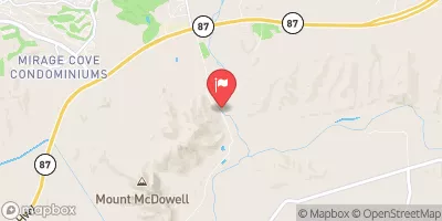
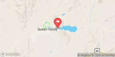
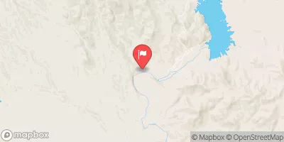
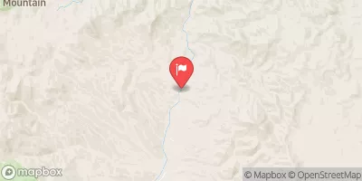
Nearby Streamflow Levels
Camping Essential Practices
Take all trash, food scraps, and gear back with you to keep campsites clean and protect wildlife.
Respect Wildlife
Observe animals from a distance, store food securely, and never feed wildlife to maintain natural behavior and safety.
Know Before You Go
Check weather, fire restrictions, trail conditions, and permit requirements to ensure a safe and well-planned trip.
Minimize Campfire Impact
Use established fire rings, keep fires small, fully extinguish them, or opt for a camp stove when fires are restricted.
Leave What You Find
Preserve natural and cultural features by avoiding removal of plants, rocks, artifacts, or other elements of the environment.
Related Links
Nearby Snowpack Depths
|
FOUNTAIN HILLS 1.2 NNE
|
0" |
|
WORKMAN CREEK
|
2" |
|
PROMONTORY
|
1" |

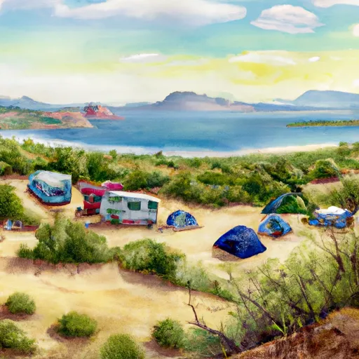 The Point
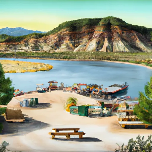 The Point Boat Dock, Campground and Picnic Area
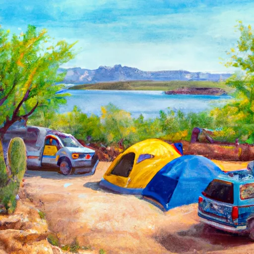 Canyon Lake Campground
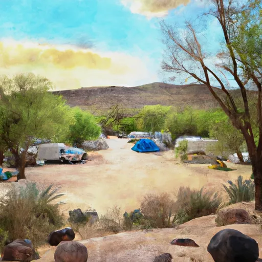 Tortilla Campground
 Tortilla
 Bagley Flat Campground and Boat Dock
 Laguna Boat Ramp
 Boundary Of The Primary Jurisdiction Below Stewart Mountain Dam To Salt River Indian Reservation Boundary
 Lower Salt