Summary
Situated in a picturesque location, this campground provides a range of amenities to enhance your stay. Visitors can enjoy spacious campsites equipped with picnic tables and fire rings, perfect for cozy evenings around the campfire. Additionally, the campground offers access to clean restroom facilities and potable water, making for a comfortable camping experience.
Reservations are accepted at the North Pines camping area, ensuring that campers can secure their spot ahead of time. It is advisable to make reservations well in advance, as this popular campground tends to fill up quickly, especially during peak seasons.
The best time of year to visit North Pines camping area is during the summer months when the weather is pleasant, and the campground is bustling with activity. However, it's worth noting that this campground is located in a high-demand area, so planning ahead and making reservations is crucial to secure a spot.
While visiting North Pines camping area, campers can explore the breathtaking natural beauty of the surrounding area. From the campground, it is easy to access hiking trails that lead to stunning viewpoints and serene landscapes. It is important to be cautious of wildlife in the area and to follow proper safety guidelines to ensure a safe and enjoyable camping experience.
In summary, North Pines camping area offers a range of amenities, accepts reservations, and is best visited during the summer months. With its stunning location and access to hiking trails, campers are sure to have a memorable experience, as long as they remain cautious and respectful of the local wildlife.
°F
°F
mph
Wind
%
Humidity
15-Day Weather Outlook
Nearby Campgrounds
5-Day Hourly Forecast Detail
Nearby Streamflow Levels
Camping Essential Practices
Take all trash, food scraps, and gear back with you to keep campsites clean and protect wildlife.
Respect Wildlife
Observe animals from a distance, store food securely, and never feed wildlife to maintain natural behavior and safety.
Know Before You Go
Check weather, fire restrictions, trail conditions, and permit requirements to ensure a safe and well-planned trip.
Minimize Campfire Impact
Use established fire rings, keep fires small, fully extinguish them, or opt for a camp stove when fires are restricted.
Leave What You Find
Preserve natural and cultural features by avoiding removal of plants, rocks, artifacts, or other elements of the environment.
Related Links
Nearby Snowpack Depths
|
NOHRSC WHITE WOLF RAWS
|
0" |
|
NOHRSC TUOLUMNE MEADOWS
|
2" |
|
NOHRSC TIOGA PASS-DANA MEADOWS
|
7" |
|
NOHRSC GREEN MTN
|
1" |
|
NOHRSC PARADISE MEADOW
|
208" |
|
AGNEW PASS (GOES)
|
5" |

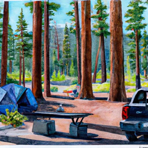 North Pines
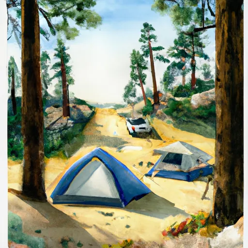 Lower Pines
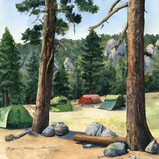 Upper Pines
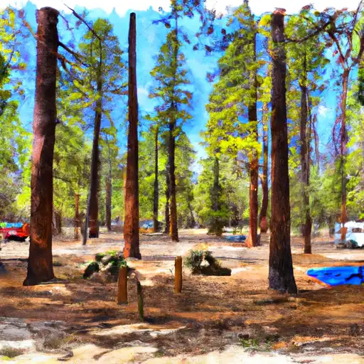 North Pines - Yosemite National Park
 Backpackers Campground
 Lower Pines - Yosemite National Park
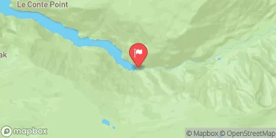
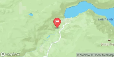
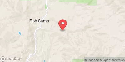
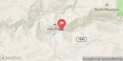
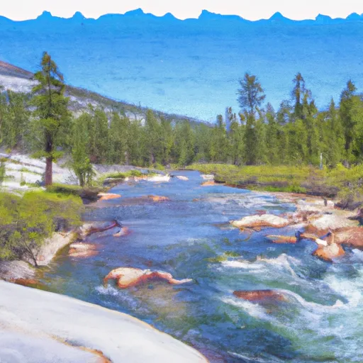 Headwaters Near The Tuolumne And Mariposa County Lines To Western Boundary Of Yosemite National Park