Summary
The campground is situated near the famous John Muir Trail, which boasts fantastic hiking opportunities and is a popular attraction for visitors. Other nearby points of interest include the iconic Mount Whitney, the highest peak in the contiguous United States, and the stunning Lone Pine Peak.
The campground offers a range of amenities, including potable water, bear boxes, and pit toilets. The campsite is a first-come-first-serve, meaning visitors can arrive and secure a spot without prior reservation. The campground offers 36 campsites, making it a relatively small site. An interesting fact about the area is that it is home to the highest-altitude restroom in the contiguous United States, situated at an elevation of 12,000 feet.
The best time to visit Trail Camp camping area is during the summer months, from June to September, when temperatures are mild and range from 50°F to 70°F during the day. Visitors should be prepared for chilly nights, with temperatures dropping to the 20s or 30s. This area is well known for its unpredictable weather, so visitors should be prepared for sudden changes in climate. Overall, Trail Camp camping area is a fantastic place to immerse oneself in the beauty of the Sierra Nevada Mountains while enjoying a peaceful camping experience.
°F
°F
mph
Wind
%
Humidity
15-Day Weather Outlook
Nearby Campgrounds
5-Day Hourly Forecast Detail
Nearby Streamflow Levels
Camping Essential Practices
Take all trash, food scraps, and gear back with you to keep campsites clean and protect wildlife.
Respect Wildlife
Observe animals from a distance, store food securely, and never feed wildlife to maintain natural behavior and safety.
Know Before You Go
Check weather, fire restrictions, trail conditions, and permit requirements to ensure a safe and well-planned trip.
Minimize Campfire Impact
Use established fire rings, keep fires small, fully extinguish them, or opt for a camp stove when fires are restricted.
Leave What You Find
Preserve natural and cultural features by avoiding removal of plants, rocks, artifacts, or other elements of the environment.
Related Links
Nearby Snowpack Depths
|
COTTONWOOD LAKES
|
1" |
|
CHARLOTTE LAKE
|
3" |
|
NOHRSC CASA VIEJA MEADOWS
|
169" |
|
BEACH MEADOWS
|
0" |
|
BLACKCAP BASIN GOES
|
5" |
|
UPPER BURNT CORRAL MEADOW
|
2" |

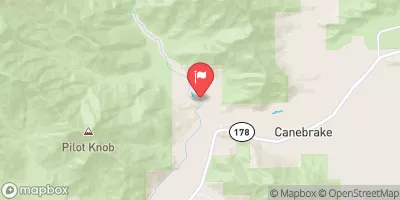
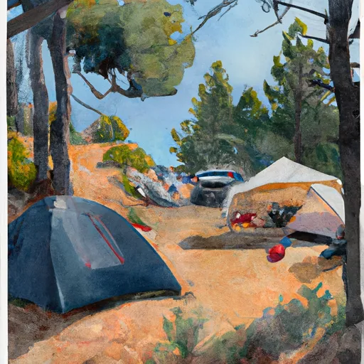 Trail Camp
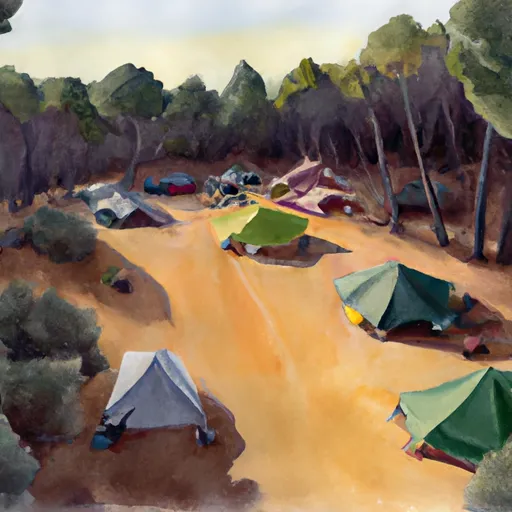 Dazzle campsite (5-7 tents)
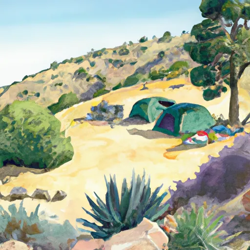 Zigzag campsite (1 tent)
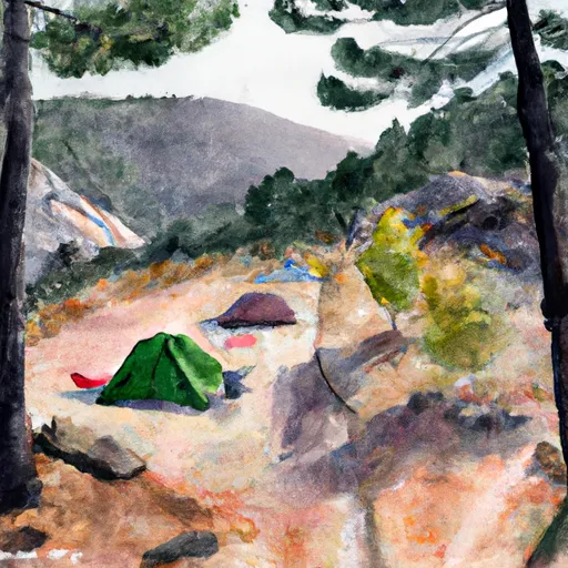 Outpost Camp
 Mt. Whitney Trailhead Campground
 Ravine Campground
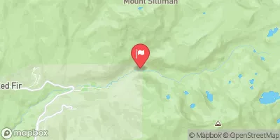
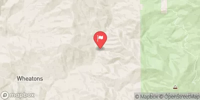
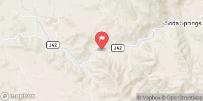
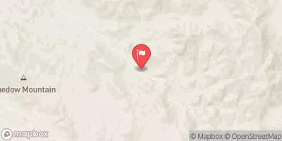
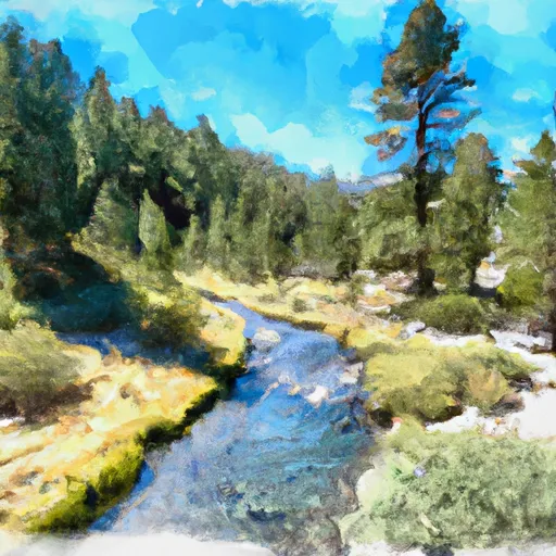 Tributary Headwaters To Wilderness Boundary
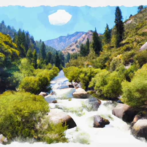 Wilderness Boundary To Nf Boundary
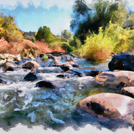 George Creek
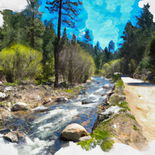 Headwaters To Forest Road 16S02
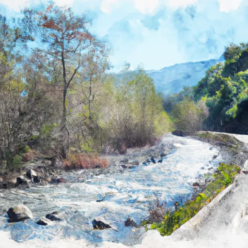 Forest Road 16So2 To La Dept. Of Water And Power Property
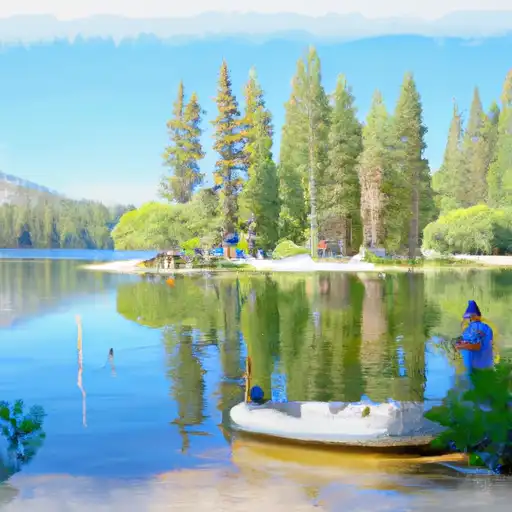 Mirror Lake
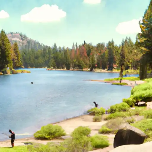 Upper Boy Scout Lake
 Meysan Lake
 Lower Boy Scout Lake
 Camp Lake