Summary
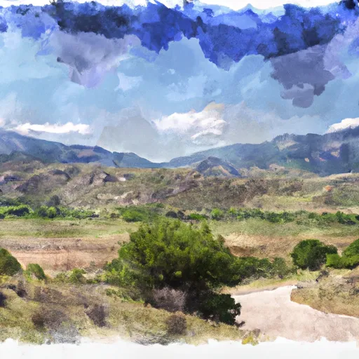
Situated at an elevation of 9,000 feet, the campground offers visitors a chance to enjoy the natural beauty of the Sangre de Cristo Mountains.
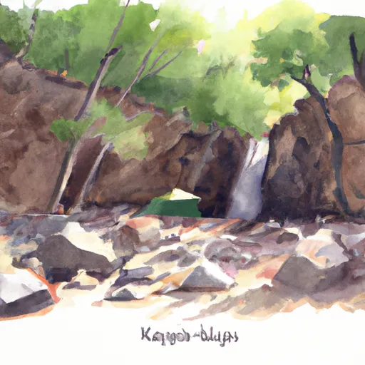
One of the main attractions of the area is the Zapata Falls, which is just a short hike away from the campground. The falls are fed by snowmelt and offer visitors a refreshing dip during the hot summer months. Another nearby attraction is the Great Sand Dunes National Park, which is just a 20-minute drive away from the campground. The park is home to the tallest sand dunes in North America and offers visitors a chance to hike, sandboard, or simply relax on the sandy beach.
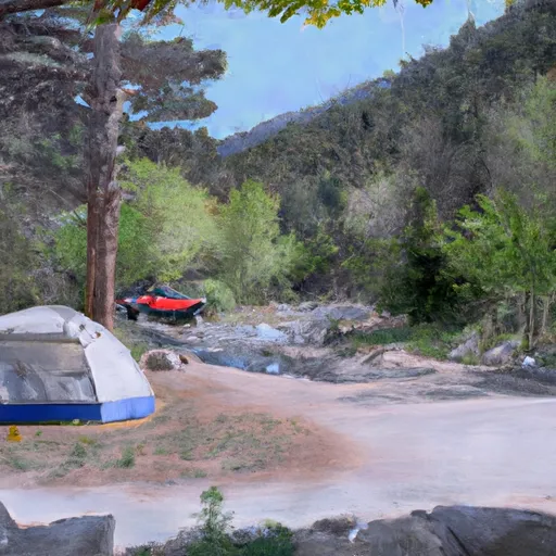
The Zapata Falls Site 24 Campsite offers a variety of amenities to make your stay comfortable. These include restrooms, potable water, trash bins, picnic tables, and fire rings. The area is also equipped with bear-proof food storage lockers to ensure the safety of campers.
The best time to visit the Zapata Falls Site 24 Campsite is during the summer months, from June to August. The average temperature during this time is around 75°F during the day and 45°F at night. It is important to note that the campground is subject to sudden weather changes and visitors should come prepared with appropriate clothing and gear.
In summary, the Zapata Falls Site 24 Campsite is a must-visit destination for nature lovers and outdoor enthusiasts. With its stunning views, nearby attractions, and comfortable amenities, it is the perfect place to escape the hustle and bustle of city life and reconnect with nature.
°F
°F
mph
Wind
%
Humidity
15-Day Weather Outlook
Nearby Campgrounds
5-Day Hourly Forecast Detail
Nearby Streamflow Levels
Camping Essential Practices
Take all trash, food scraps, and gear back with you to keep campsites clean and protect wildlife.
Respect Wildlife
Observe animals from a distance, store food securely, and never feed wildlife to maintain natural behavior and safety.
Know Before You Go
Check weather, fire restrictions, trail conditions, and permit requirements to ensure a safe and well-planned trip.
Minimize Campfire Impact
Use established fire rings, keep fires small, fully extinguish them, or opt for a camp stove when fires are restricted.
Leave What You Find
Preserve natural and cultural features by avoiding removal of plants, rocks, artifacts, or other elements of the environment.
Related Links
Nearby Snowpack Depths
|
GREAT SAND DUNES NATL MON
|
0" |
|
NOHRSC UTE CREEK
|
177" |
|
UTE CREEK
|
0" |
|
NOHRSC MEDANO PASS
|
1" |
|
MEDANO PASS
|
0" |
|
ALAMOSA 1.1 N
|
0" |

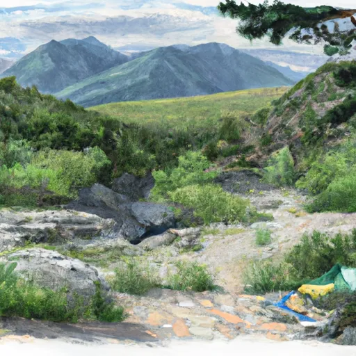 Zapata Falls Site 24
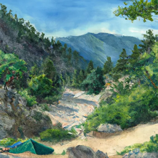 Zapata Falls Site 25
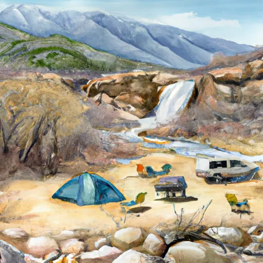 Zapata Falls Site 2
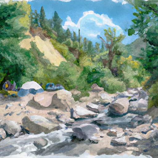 Zapata Falls Site 23
 Zapata Falls Site 3
 Zapata Falls Campground
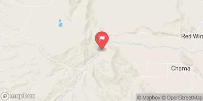
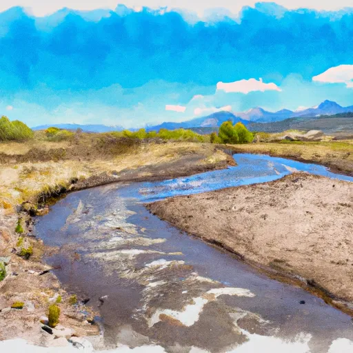 Headwaters To Confluence With Medano Creek
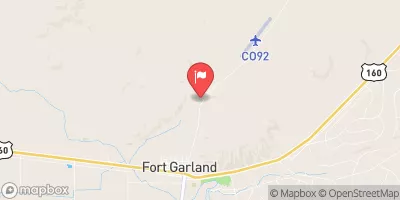
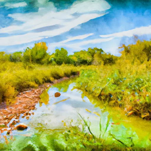 Headwaters At Indian Spring To Ends Where The Creek Is Diverted Into Irrigation Ditches
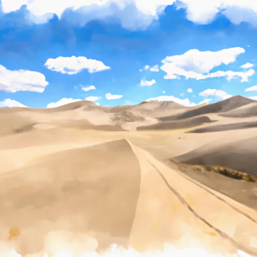 National Park Great Sand Dunes
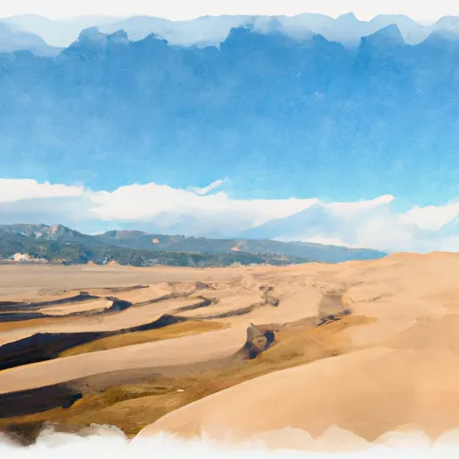 Great Sand Dunes National Park and Preserve
 Wilderness Great Sand Dunes
 San Luis State Park
 San Luis Lakes Wildlife Area