Summary
It is situated near the top of the Paunsaugunt Plateau and offers stunning panoramic views of the surrounding area. The campground is located at an elevation of 8,500 feet, providing cool temperatures and refreshing mountain air.
Surrounding Views:
From the camping area, visitors can enjoy breathtaking views of the colorful hoodoos, cliffs, and canyons of Bryce Canyon. The park is known for its unique geological formations, including the Navajo Formation, which consists of red, orange, and white limestone rock.
Specific Nearby Points of Interest:
There are several hiking trails near the campground, including the Bristlecone Loop Trail, which features ancient bristlecone pine trees that are over 1,600 years old. Other nearby hiking trails include the Riggs Spring Loop Trail, the Swamp Canyon Loop Trail, and the Under-the-Rim Trail.
Campground Amenities:
The Yovimpa Pass camping area has 20 campsites available on a first-come, first-served basis. The campground offers basic amenities, including picnic tables, fire rings, and vault toilets. There is no potable water available, so visitors should bring their own supply.
Interesting Facts:
Yovimpa Pass is named after a Paiute chief who lived in the area in the 19th century. The plateau is known for its unique geology, which has led to the formation of several natural arches and bridges.
Best Time of Year to Visit:
The best time to visit the Yovimpa Pass camping area is from May to September, when temperatures are mild and the campground is open. Average temperatures during this time range from the low 50s to the mid-70s Fahrenheit. Visitors should be aware that the area can experience sudden changes in weather, so it is important to be prepared for all conditions.
Sources:
- National Park Service: Bryce Canyon National Park Camping
- Bryce Canyon Country: Yovimpa Pass Campground
- AllTrails: Yovimpa Pass Trail
°F
°F
mph
Wind
%
Humidity
15-Day Weather Outlook
Nearby Campgrounds
| Location | Reservations |
|---|---|
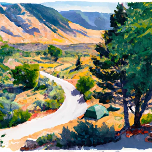 Yovimpa Pass
|
|
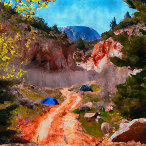 Yovimpa Pass Camp Site
|
|
 Corral Hollow
|
|
 Riggs Spring
|
|
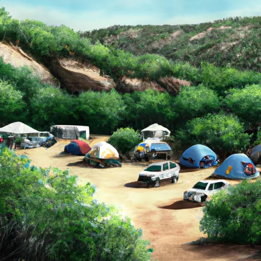 Corral Hollow Campsite
|
|
 Riggs Spring Campsite
|
5-Day Hourly Forecast Detail
Nearby Streamflow Levels
Camping Essential Practices
Take all trash, food scraps, and gear back with you to keep campsites clean and protect wildlife.
Respect Wildlife
Observe animals from a distance, store food securely, and never feed wildlife to maintain natural behavior and safety.
Know Before You Go
Check weather, fire restrictions, trail conditions, and permit requirements to ensure a safe and well-planned trip.
Minimize Campfire Impact
Use established fire rings, keep fires small, fully extinguish them, or opt for a camp stove when fires are restricted.
Leave What You Find
Preserve natural and cultural features by avoiding removal of plants, rocks, artifacts, or other elements of the environment.
Related Links
Nearby Snowpack Depths
|
AGUA CANYON
|
1" |
|
LONG VALLEY JCT
|
1" |
|
LONG VALLEY JCT
|
1" |
|
KODACHROME BASIN PARK
|
0" |
|
HARRIS FLAT
|
0" |
|
NOHRSC HARRIS FLAT
|
0" |

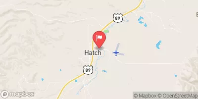
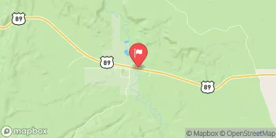
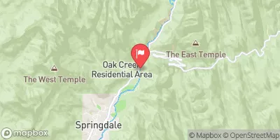
 Bull Valley Gorge
 Sheep Creek, Nps
 Yellow Creek
 Sheep Creek
 Deer Creek Canyon