Big Meadows - Shenandoah National Park campground
Community Reviews
Been here? Share the conditions.
Reviews, ratings & photos are added in the free Snoflo iOS app — rate a spot, tag the conditions, and your visit is verified by location. Add or manage your reviews from the app.
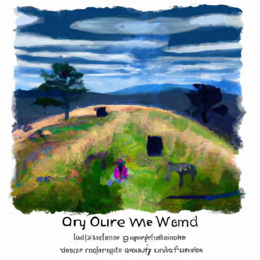
Big Meadows - Shenandoah National Park
Reservations are accepted at Big Meadows, allowing campers to secure their spots in advance. This is particularly recommended during peak seasons, as the campground tends to fill up quickly. The best time of year to visit Big Meadows is during the spring and fall when the temperatures are mild, and the park showcases its vibrant foliage. It is important to note that the campground is located at an elevation of around 3,500 feet, so visitors should be prepared for cooler temperatures, even during the summer months.
While camping at Big Meadows, there are several points of interest worth exploring. The campground is conveniently located near the Big Meadows Visitor Center, which offers exhibits, information, and guided activities. Additionally, the area is renowned for its breathtaking viewpoints and scenic hiking trails, such as the popular Dark Hollow Falls trail. Visitors should be cautious of wildlife encounters, particularly with black bears. It is important to properly store food and dispose of trash to prevent attracting these animals to the campground. Overall, Big Meadows in Shenandoah National Park provides a wonderful camping experience with its amenities, reservation system, optimal visiting times, and unique attractions.
What's on-site at Big Meadows - Shenandoah National Park
Key facilities Snoflo tracks for this campground. Confirm with the operator before booking -- amenities can change seasonally.
Plan your trip down to the hour
Same weather feed Snoflo's iOS app uses -- updated continuously from NOAA / yr.no.
Next 5 days, hour by hour
Temperature line with weather symbols on top, snow + rain accumulation as columns, humidity as a dotted line.
5-day forecast table
Every 3 hours, broken out across temperature, snow, rain, humidity, and wind. Each cell is colour-coded relative to the column min/max so trends jump out at a glance.
| Time | Condition | Temp (°F) | Snow (in) | Rain (in) | Humidity (%) | Wind (mps) | Wind dir |
|---|---|---|---|---|---|---|---|
| Loading detailed forecast… | |||||||
15-day temperature & precipitation
Daily temperatures, snow, and rain projected over the next two weeks. Hover any point for the full breakdown.
Other campgrounds in the area
Snoflo-tracked campsites within driving distance of Big Meadows - Shenandoah National Park, with reservations status.
| Campground | Reservations | Toilets | View |
|---|---|---|---|
| Lewis Mountain - Shenandoah National Park | ✗ | ✗ | → |
| Lewis Mountain | ✗ | ✗ | → |
| Lewis Mountain Campground | ✗ | ✗ | → |
| Camp 6 | ✗ | ✗ | → |
| Spacious Skies Campgrounds - Shenandoah Valley | ✗ | ✗ | → |
Nearby streamflow
USGS streamgauges within reach of Big Meadows - Shenandoah National Park -- pulled live from the National Water Information System.
| Streamgauge | Discharge | View |
|---|---|---|
| S F Shenandoah River Near Luray | 609 cfs | → |
| Smith Creek Near New Market | 26 cfs | → |
| Rapidan River Near Ruckersville | 34 cfs | → |
| N F Shenandoah River At Mount Jackson | 198 cfs | → |
| Linville Creek At Broadway | 24 cfs | → |
| Battle Run Near Laurel Mills | 3 cfs | → |
Nearby snow depths
NRCS SNOTEL stations within reach of Big Meadows - Shenandoah National Park -- relevant when planning a shoulder-season or alpine trip.
| SNOTEL station | Snowpack | 24h Snowfall | View |
|---|---|---|---|
| Dale Enterprise Coop | 0.0 in | 0.0 in | → |
| Charlottesville 2w Coop | 0.0 in | 0.0 in | → |
Plan a longer trip
The closest parks, lakes, boat launches, and paddle runs so a camping night can grow into a full weekend.
Parks
- Shenandoah Historic District
- Shenandoah River State Park
- Yowell Meadow Park
- Preddy Creek Trails Park
- Purcell Park
- James Madison's Montpelier
Boat launches
- Us 340 Business Page County
- Grove Hill River Road Page County
- Newport
- White House
- Shenandoah Riverside
- Massanutten
Fishing spots
- Bealers Ferry Boat Launch
- Bealers Ferry Pond Accessible Fishing Site
- Moody Boat Launch
- Batzell Boat Launch
- White Sulphur Pond
- Tomahawk Pond Day Use Area
Points of interest
Paddle runs
- Bixler Bridge On State Route 675 To Karo Landing, Approximately 6 Miles South Of Town Of Front Royal
- Segment B--State Route 730 Bridge To Nf Boundary
- Segment C--Nf Boundary To Confluence With North Fork Shenandoah River
- State Route 675 At Edinburg, Va To State Highway 55 Southeast Of Strasburg, Va
- Headwaters Adjacent To Fdt 573 To State Route 622 Bridge
- Wardensville To The Town Of Capon Bridge
Camping essentials & Leave No Trace
- Pack it in, pack it out
- Take all trash, food scraps, and gear back with you to keep campsites clean and protect wildlife.
- Respect wildlife
- Observe animals from a distance, store food securely, and never feed wildlife to maintain natural behavior and safety.
- Know before you go
- Check weather, fire restrictions, trail conditions, and permit requirements to ensure a safe and well-planned trip.
- Minimize campfire impact
- Use established fire rings, keep fires small, fully extinguish them, or opt for a camp stove when fires are restricted.
- Leave what you find
- Preserve natural and cultural features by avoiding removal of plants, rocks, artifacts, or other elements of the environment.
Set push alerts in the Snoflo app
Save Big Meadows - Shenandoah National Park as a favorite, set a custom threshold (precipitation, snowpack, freezing temperatures), and the iOS app will push the moment conditions cross.
About Big Meadows - Shenandoah National Park
Can I make reservations at Big Meadows - Shenandoah National Park?
Yes -- this campground accepts reservations. Snoflo recommends booking early for peak season; check the operator (Recreation.gov / state park system / private operator) for the booking window and cancellation policy.
How fresh is the weather data on this page?
The hourly forecast updates throughout the day from the NOAA / yr.no public feeds. Streamflow data is pulled live from USGS streamgauges and snowpack from the NRCS SNOTEL network.
What's the best time of year to visit?
Use the 15-day temperature & precipitation outlook on this page to plan -- pick a window with comfortable temperatures and low precipitation. For longer trips, the 5-day hourly meteogram shows snow + rain accumulation hour-by-hour.
How do I get to Big Meadows - Shenandoah National Park?
Tap Directions in the hero above to open driving directions in Google Maps, or Open in map to center the Snoflo interactive map on the campground.
Can I get alerts when conditions change?
Yes -- alerts are managed through the Snoflo iOS app. Favorite this campground, set a threshold (temperature, snowpack, precipitation), and you'll get a push the moment it crosses.
Other campgrounds near here
Snoflo-tracked campgrounds within driving distance of Big Meadows - Shenandoah National Park.