Summary
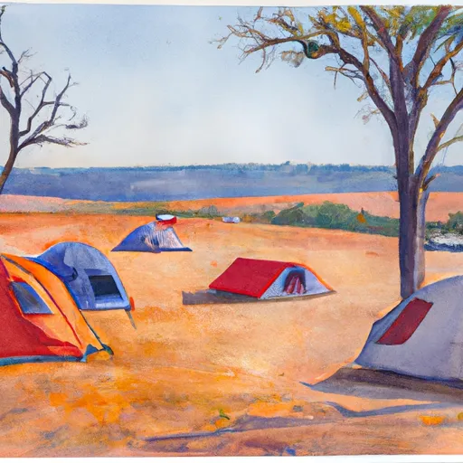
Nestled amongst towering cedar trees, this campground offers a range of amenities to ensure a comfortable and enjoyable camping experience. The campground provides spacious and well-maintained sites for both tents and RVs, along with picnic tables, fire pits, and access to potable water. Additionally, there are clean restroom facilities with hot showers, making it convenient for campers to freshen up during their stay.
Reservations are accepted at Big Cedars Campground, allowing visitors to secure their preferred campsite in advance. This is particularly beneficial during peak seasons, as the campground tends to get busy. It is advisable to book early to guarantee a spot, especially if planning to visit during weekends or holiday periods.
The best time to visit Big Cedars Campground is during the summer months, from June to September, when the weather is generally pleasant and conducive to outdoor activities. However, it is worth noting that the campground can get crowded during this time, so be prepared for potential noise and limited privacy. Additionally, being located in the wilderness, it is important to take precautions against bears and other wildlife. Proper food storage and waste disposal are essential to prevent attracting unwanted visitors.
In summary, Big Cedars Campground offers a serene and well-equipped camping area in Washington state. With its amenities, acceptance of reservations, and optimal visiting time during summer, it provides an excellent opportunity for nature enthusiasts and campers to enjoy the beauty of the surrounding area while ensuring a comfortable stay. Just remember to stay cautious and respectful of the wildlife in order to have a safe and enjoyable camping experience.
°F
°F
mph
Wind
%
Humidity
15-Day Weather Outlook
Nearby Campgrounds
| Location | Reservations |
|---|---|
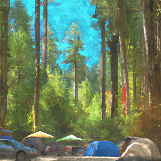 Big Cedars Campground
|
|
 Campground: Moss Creek
|
|
 Moss Creek
|
|
 Campground: Oklahoma
|
|
 Oklahoma Campground
|
|
 Oklahoma
|
5-Day Hourly Forecast Detail
Nearby Streamflow Levels
Camping Essential Practices
Take all trash, food scraps, and gear back with you to keep campsites clean and protect wildlife.
Respect Wildlife
Observe animals from a distance, store food securely, and never feed wildlife to maintain natural behavior and safety.
Know Before You Go
Check weather, fire restrictions, trail conditions, and permit requirements to ensure a safe and well-planned trip.
Minimize Campfire Impact
Use established fire rings, keep fires small, fully extinguish them, or opt for a camp stove when fires are restricted.
Leave What You Find
Preserve natural and cultural features by avoiding removal of plants, rocks, artifacts, or other elements of the environment.
Related Links
Nearby Snowpack Depths
|
HOOD RIVER
|
0" |
|
GREENPOINT
|
0" |
|
NOHRSC GREENPOINT
|
0" |
|
TROUT LAKE 0.8 SSW
|
0" |
|
SNOWDEN
|
0" |
|
CASCADE LOCKS
|
0" |

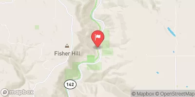
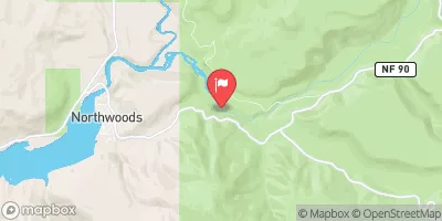
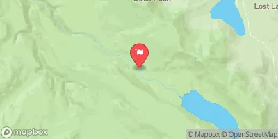
 Lewis and Clark Trail Highway Skamania County
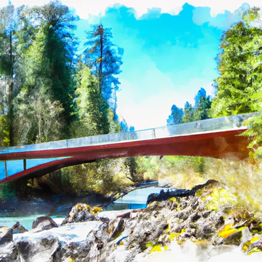 Hemlock Road Bridge To Gifford Pinchot Nf Boundary
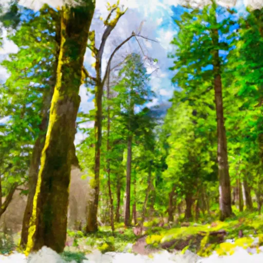 Gifford Pinchot National Forest
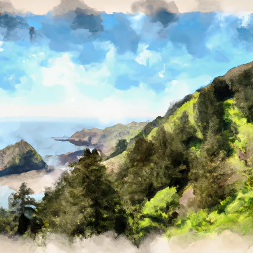 Viento State Park
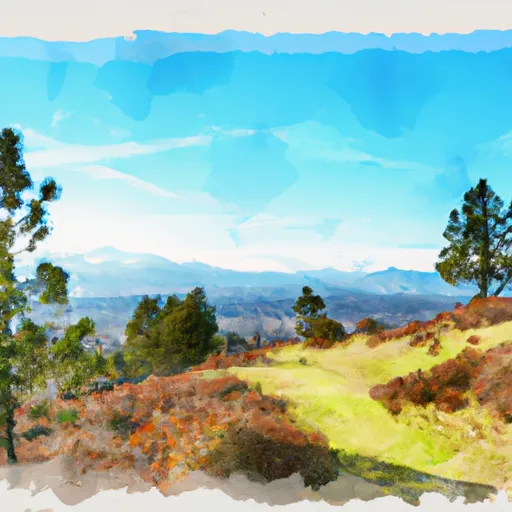 Vincenz Lausmann Memorial State Natural Area
 Seneca Fouts Memorial State Natural Area
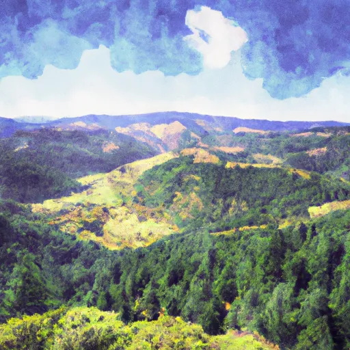 Wygant State Natural Area