


-
 Snoflo Premium
Get unlimited access to all our content
With no Ad interruptions! - Start Your Free Trial Login with existing account
Weather Outlook
Seasonal Comparison
Historical Data
Regional Streamflow Levels
| Streamgauge | Streamflow | Gage Height |
|---|---|---|
| CEDAR RIVER AT SAN JUAN AVE AT JACKSONVILLE | 434 cfs | 11.7 ft |
| POTTSBURG CREEK NR SOUTH JACKSONVILLE | 5 cfs | 19.3 ft |
| NORTH FORK BLACK CREEK NR MIDDLEBURG | 47 cfs | 1.3 ft |
| JULINGTON CRK AT OLD ST AUGUST RD NR BAYARD | 121 cfs | 0.5 ft |
| SATILLA RIVER AT ATKINSON | 5,820 cfs | 13.3 ft |
| ST. MARYS RIVER NR MACCLENNY | 468 cfs | 6.0 ft |
| ST. JOHNS RIVER AT JACKSONVILLE | 156,000 cfs | 11.5 ft |
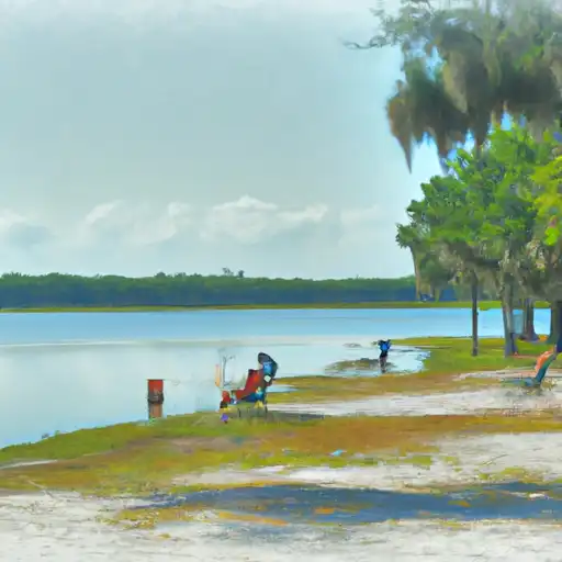
Fishing Destinations
Ronnie Van Zant Park Pond
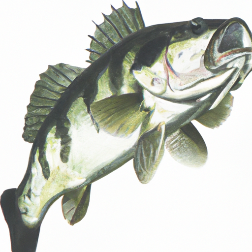
Almaco Jack • Blue Catfish • Bluegill • Kelp Bass • Largemouth Bass
Doctors Lake
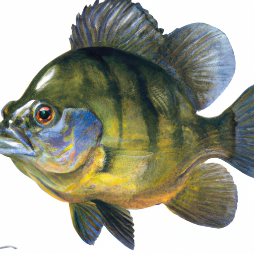
Black Crappie • Blue Catfish • Bluegill • Kelp Bass • Largemouth Bass
Little Black River
Black Crappie • Blue Catfish • Kelp Bass
Savannah River
Black Crappie • Blue Catfish • Kelp Bass • Largemouth Bass
jekyll island fishing center
Whittakers Pond
Blue Catfish • Bluegill • Kelp Bass • Largemouth Bass
Bethesda Pond
Blue Catfish • Bluegill • Kelp Bass • Largemouth Bass
Fish Feeder #2
Fish Feeder #1
Hanna Lake Park
Largemouth Bass • Bluegill • Black Crappie
Area Boat Ramps
|
BUCHANNON DRIVE CHARLTON COUNTY
St. Marys Watershed, Florida |
|
MAIN STREET 3772, MIDDLEBURG
Lower St. Johns Watershed, Florida |
|
PALMO FISH CAMP ROAD 8698, SAINT AUGUSTINE
Lower St. Johns Watershed, Florida |
|
HIGHWAY 17 1973, GREEN COVE SPRINGS
Lower St. Johns Watershed, Florida |
|
SIX MILE LANDING
Daytona - St. Augustine Watershed, Florida |
|
VILANO CAUSEWAY 600, SAINT AUGUSTINE
Daytona - St. Augustine Watershed, Florida |
|
OLD FERRY ROAD 2231, GREEN COVE SPRINGS
Lower St. Johns Watershed, Florida |
|
AVENUE A 16, STARKE
Lower St. Johns Watershed, Florida |
|
FL A1A ST. AUGUSTINE
Daytona - St. Augustine Watershed, Florida |
|
USINA BOAT RAMP
Watershed, |
Rafting & Kayaking
Parks & Recreation
Nearby Campgrounds
| Camping Area | Campsites | Reservations | Toilets | Showers | Elevation |
|---|---|---|---|---|---|
| Traders Hill County Park | Numerous | 85 ft | |||
| Altamaha County Park | 43 | 12 ft | |||
| Blythe Island Regional Park | Numerous | 11 ft | |||
| Barrington County Park | Numerous | 22 ft | |||
| Eagle Hammock RV Military - Kings Bay NSB | Numerous | 19 ft | |||
| Little Talbot Island State Park | Numerous | 15 ft | |||
| Crooked River State Park | Numerous | 14 ft | |||
| Jekyll Island County Park | Numerous | 18 ft | |||
| Sea Camp - Cumberland Island Natl Seashore | 16 | 6 ft | |||
| Fort Clinch State Park | Numerous | 14 ft |