2026-02-25T17:00:00-07:00
* WHAT...Periods of heavy snow expected. Total snow accumulations between 10 and 20 inches, greatest on southwest and west facing slopes, including the mountains around Cooke City. Winds could gust as high as 60 mph. * WHERE...Absaroka/Beartooth Mountains. * WHEN...From 11 PM this evening to 5 PM MST Wednesday. * IMPACTS...Recreation in the high country will be impacted by heavy accumulating snow. Higher and more exposed areas will see strong winds, resulting in significant blowing and drifting snow. * ADDITIONAL DETAILS...Strong winds and snow will likely increase avalanche danger.
Summary
With an elevation of 12,807 feet (3,904 meters), this majestic peak attracts experienced mountaineers from around the world. The mountain's size is notable, with a prominence of 4,867 feet (1,483 meters) and a topographic isolation of 290 miles (467 kilometers). Its pristine alpine environment and rugged terrain make it a popular destination for climbers seeking a true wilderness experience.
During the winter season, Granite Peak is blanketed in heavy snowpack, with an average of 200-300 inches (508-762 cm) of snowfall. The mountain's location in the Beartooth Mountains ensures a longer snow season compared to other ranges in the region. This makes it a popular destination for backcountry skiing and snowboarding enthusiasts.
Granite Peak is also known for its numerous creeks and rivers that receive runoff from the mountain's melting snow during spring and summer. Some notable waterways include the West Rosebud Creek, East Rosebud Creek, and the Stillwater River. These water sources provide vital habitats for various wildlife species, including trout and other fish.
The name "Granite Peak" reflects the mountain's composition, as it is predominantly made of granite rock. Interestingly, the mountain has also been referred to as "Béni Azel" by Native American tribes, which means "Silver Tip" in Crow. It is believed that this name originated from the presence of grizzly bears in the region, which have silver-tipped fur. As one of the most challenging peaks in the Rockies, Granite Peak has its fair share of lore and legends. Many tales surround the mountain, including stories of lost treasure and mysterious disappearances. These captivating narratives add to the allure and mystique of this remarkable mountain.
°F
°F
mph
Wind
%
Humidity
15-Day Weather Outlook
5-Day Hourly Forecast Detail
Regional Streamflow Levels
303
Cubic Feet Per Second
7
Cubic Feet Per Second
77
Cubic Feet Per Second
440
Cubic Feet Per Second
Area Campgrounds
| Location | Reservations | Toilets |
|---|---|---|
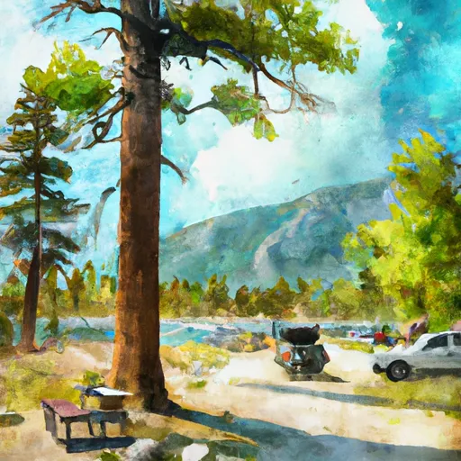 Emerald Lake Campground
|
||
 East Rosebud Campground
|
||
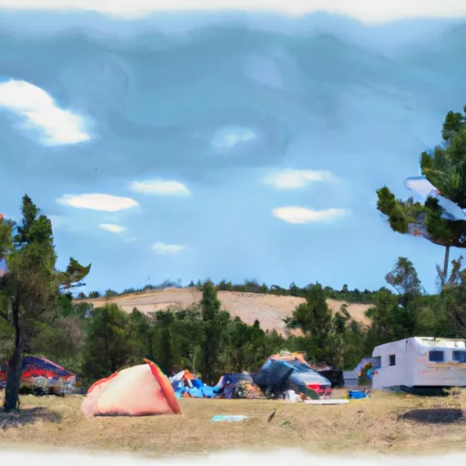 Jimmy Joe Campground
|
||
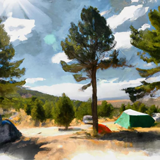 Colter Campground
|
||
 Soda Butte Campground
|

 West Rosebud Lake Fishing Access
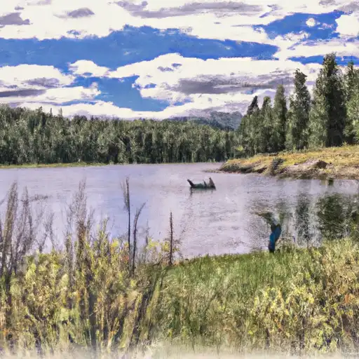 Courthouse Lake
 Emerald Lake Fishing Access
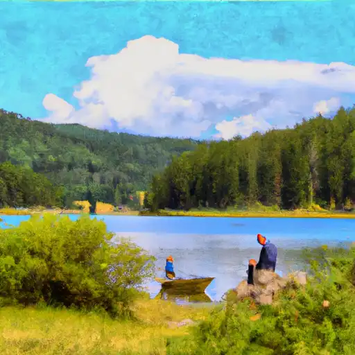 Anvil Lake
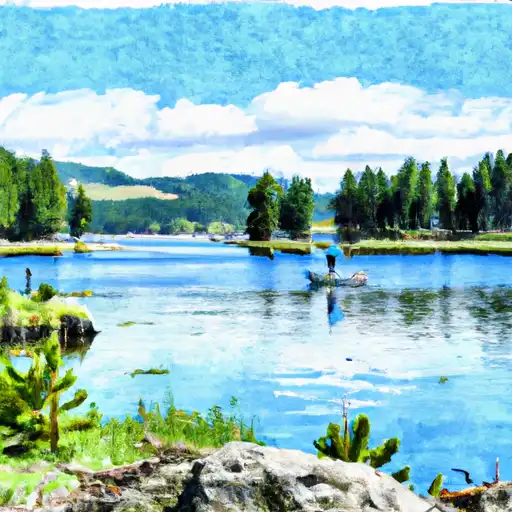 Bowback Lake