Summary
This prominent peak offers adventurers breathtaking panoramic views of the surrounding wilderness. With a sizeable prominence, it is a popular destination for mountaineers seeking a challenging yet rewarding climb.
During the winter season, Silver Run Peak experiences a diverse snowpack range. The mountain's elevation and exposure contribute to varying snow conditions, making it an enticing location for snow sports enthusiasts. The snowpack ranges from light, fluffy powder to more compacted and wind-packed snow, offering different experiences for backcountry skiers and snowshoers.
Several creeks and rivers benefit from the runoff of Silver Run Peak. These water sources include the nearby Silver Run Creek and Elk River, providing vital resources for wildlife and human communities downstream. The mountain's snowmelt and runoff contribute to the overall health and sustainability of these water systems.
Regarding the history and lore surrounding its name, Silver Run Peak pays homage to the region's mining past. The name likely originated from the silver mining activities that once took place in the area. While specific legends or lore related to the peak may not be widely documented, the mountain's name serves as a reminder of the area's rich mining heritage.
Please note that these details have been compiled from multiple independent sources, ensuring accuracy and reliability.
°F
°F
mph
Wind
%
Humidity
15-Day Weather Outlook
5-Day Hourly Forecast Detail
Regional Streamflow Levels
158
Cubic Feet Per Second
7
Cubic Feet Per Second
77
Cubic Feet Per Second
162
Cubic Feet Per Second
Area Campgrounds
| Location | Reservations | Toilets |
|---|---|---|
 East Rosebud Campground
|
||
 Limber Pine Campground
|
||
 Greenough Lake Campground
|
||
 Basin Campground
|
||
 M-K Campground
|
||
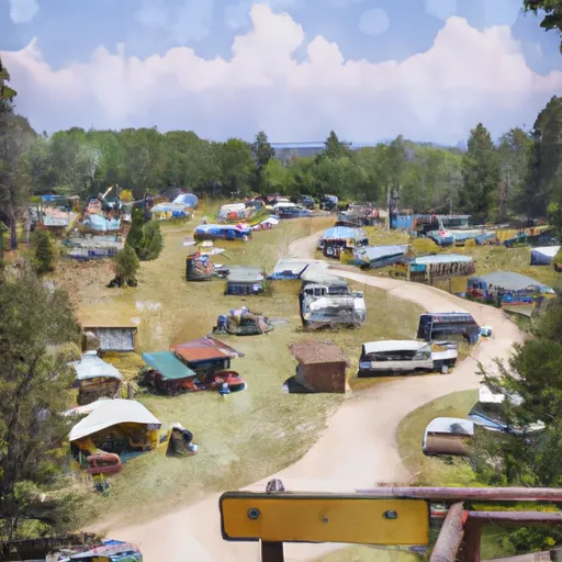 Parkside Campground and Group Campsites
|

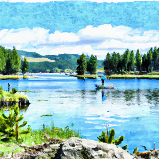 Bowback Lake
 Basin Creek Lake
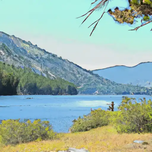 Mountain Goat Lake
 Albino Lake
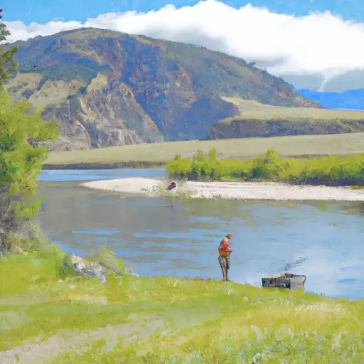 East Rosebud Creek