Summary
With an elevation reaching 4,930 feet (1,503 meters), it stands as one of the highest peaks in the area. This massive mountain is renowned for its sheer granite cliffs, which reach heights of approximately 750 feet (229 meters) and stretch for about 2 miles (3.2 kilometers).
During the winter season, Whiteside Mountain often experiences a substantial snowpack range, with depths that can vary greatly depending on weather conditions. The heavy snowfall enhances the mountain's beauty and transforms it into a winter wonderland for outdoor enthusiasts. In addition to its beautiful cliffs and snow-covered slopes, the mountain is also home to several creeks and rivers that receive runoff from its slopes. These waterways, such as the Chattooga and the East Fork of the Tuckasegee River, provide scenic beauty and offer opportunities for fishing and other recreational activities.
The name "Whiteside" originated from the Cherokee legend of a giant known as "Atagahi." According to the lore, Atagahi was a benevolent spirit who protected the Cherokee people. It is said that when Atagahi passed away, his body turned into the mountain, and his spirit still watches over the land. The legend adds an air of mystique to Whiteside Mountain, making it an intriguing destination for those interested in folklore and cultural history.
In conclusion, Whiteside Mountain is a majestic peak within the Appalachian Mountains, boasting impressive cliffs, a significant elevation, and stunning views. Its winter snowpack, along with the creeks and rivers that flow from its slopes, make it a diverse and captivating destination for outdoor enthusiasts. The mountain's name and associated legend further enhance its allure, adding an element of enchantment to this already awe-inspiring location.
°F
°F
mph
Wind
%
Humidity
15-Day Weather Outlook
5-Day Hourly Forecast Detail
Regional Streamflow Levels
586
Cubic Feet Per Second
85
Cubic Feet Per Second
2,020
Cubic Feet Per Second
1,560
Cubic Feet Per Second
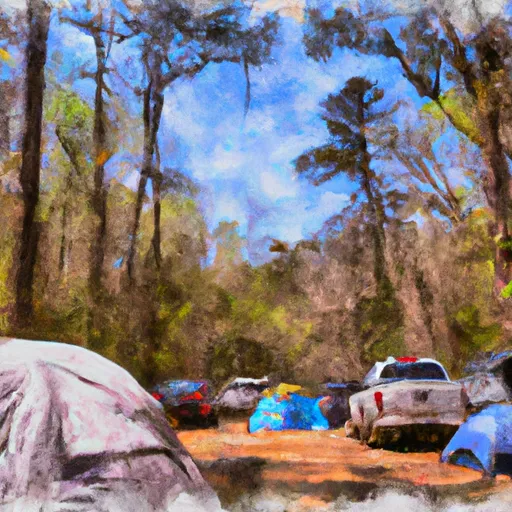
Area Campgrounds
| Location | Reservations | Toilets |
|---|---|---|
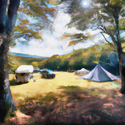 Van Hook Glade
|
||
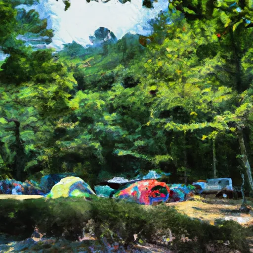 Van Hook Glade Campground
|
||
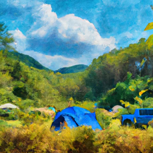 Blue Valley Dispersed Camping
|
||
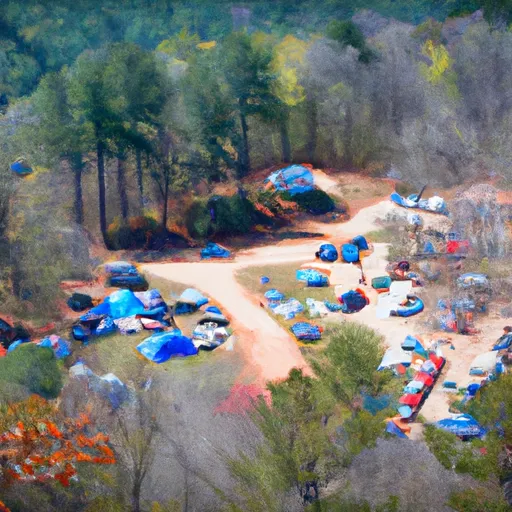 Blue Valley Camp
|
||
 Ralph Andrews County Park
|
||
 Burrells Ford
|
