2026-02-23T13:00:00-08:00
Snow levels will range between 3,000 to 4,000 ft. * WHAT...Snow expected. Total snow accumulations 8 to 12 inches. * WHERE...Cascades of Snohomish and Northern King Counties and Cascades of Whatcom and Skagit Counties. * WHEN...From 8 PM this evening to 1 PM PST Monday. * IMPACTS...Travel could be very difficult to impossible. The hazardous conditions could impact the Monday morning commute.
Summary
It stands at an impressive elevation of approximately 2,740 meters (8,990 feet) above sea level, making it an enticing destination for mountaineers and outdoor enthusiasts. With its stunning size, Columbia Peak offers breathtaking panoramic views of the surrounding landscape, including vast alpine meadows and rugged peaks.
During the winter season, Columbia Peak receives significant snowfall, contributing to its reputation as a challenging winter mountaineering destination. The snowpack range on the mountain varies each year, but it is generally known to accumulate a substantial amount of snow, creating ideal conditions for backcountry skiing and snowboarding.
Columbia Peak contributes to the hydrology of the region as it feeds various creeks and rivers with its runoff. One notable example is the Chilliwack River, which originates near the mountain's base and flows through the lush Chilliwack Valley. This river is renowned for its scenic beauty and offers excellent opportunities for fishing and kayaking.
As for the history and lore surrounding Columbia Peak, there is limited information available. The mountain's name likely derives from its majestic presence, reminiscent of the Columbia River, which flows through both the United States and Canada. While there are no specific legends associated with Columbia Peak, its grandeur and natural beauty continue to captivate adventurers who seek to conquer its slopes.
°F
°F
mph
Wind
%
Humidity
15-Day Weather Outlook
5-Day Hourly Forecast Detail
Regional Streamflow Levels
410
Cubic Feet Per Second
120
Cubic Feet Per Second
394
Cubic Feet Per Second
9
Cubic Feet Per Second
Area Campgrounds
| Location | Reservations | Toilets |
|---|---|---|
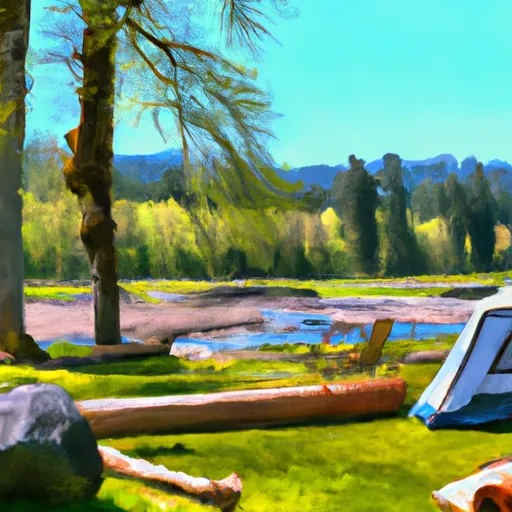 Sauk River Campground
|
||
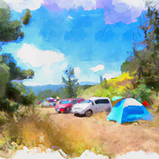 Hops Hill Campground
|
||
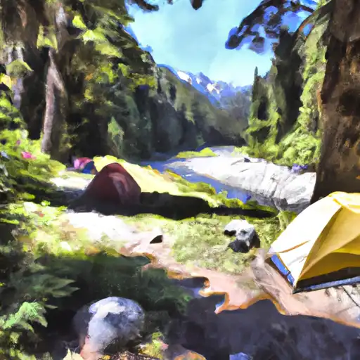 Troublesome Creek
|
||
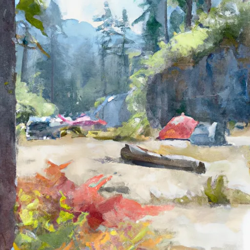 Troublesome Creek Campground
|
||
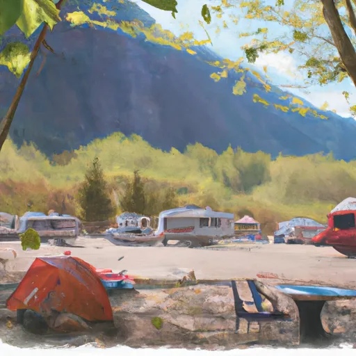 Twin Bridge Campground
|
||
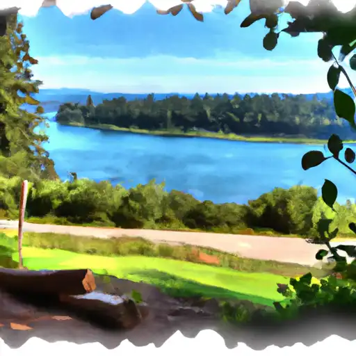 San Juan
|
