2026-02-23T13:00:00-08:00
Snow levels will range between 3,000 to 4,000 ft. * WHAT...Snow expected. Total snow accumulations 8 to 12 inches. * WHERE...Cascades of Snohomish and Northern King Counties and Cascades of Whatcom and Skagit Counties. * WHEN...From 8 PM this evening to 1 PM PST Monday. * IMPACTS...Travel could be very difficult to impossible. The hazardous conditions could impact the Monday morning commute.
Summary
With an impressive elevation of approximately 2,700 meters (8,858 feet), it stands as a challenging and rewarding destination for mountaineers and adventurers. This mountain offers breathtaking panoramic views of the surrounding area and is known for its rugged terrain and striking beauty.
During the winter season, Jumbo Mountain experiences a significant snowpack range. Snowfall can accumulate up to several meters, creating ideal conditions for winter sports enthusiasts. The deep snow cover also contributes to the mountain's appeal for backcountry skiing and snowboarding. Additionally, the mountain acts as a vital source of runoff for nearby creeks and rivers, such as the Jumbo Creek and Toby Creek, which flow through the valleys below.
Although the origin of the mountain's name is not well-documented, it is believed to be derived from the mountain's massive size and prominent presence in the region. Jumbo Mountain is not only a physical marvel but also holds a place in local lore and legends. Tales of mythical creatures and mysterious events have been associated with the mountain, adding an air of intrigue and fascination to its already captivating allure. Whether it be for mountaineering, winter sports, or exploring the surrounding natural beauty, Jumbo Mountain offers an unforgettable experience for adventurers seeking an exhilarating challenge in the Pacific Ranges.
°F
°F
mph
Wind
%
Humidity

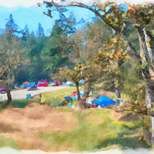 Squire Creek County Park
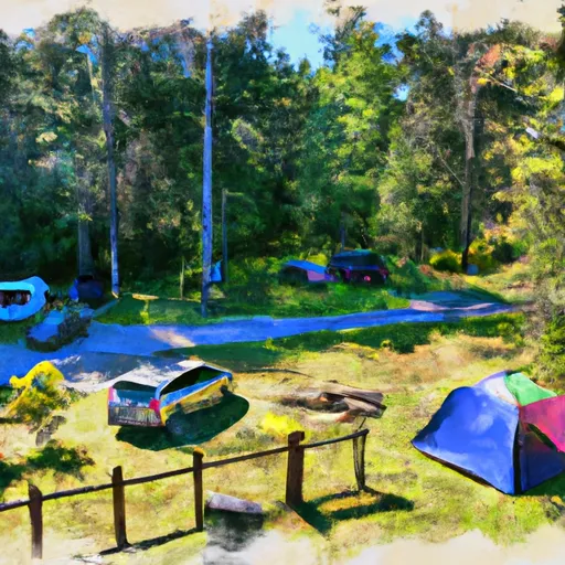 Squire Creek Park & Campground
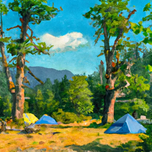 Peek-a-boo Lake Campsites
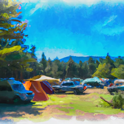 Coal Creek Group Campground
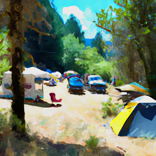 Beaver Creek Group Campground
 Redbridge Campground