Summary
Standing at an elevation of 10,457 feet (3,187 meters), it is the southernmost active volcano in the Cascade Range. Lassen Peak is part of the Lassen Volcanic National Park and offers adventurers a range of outdoor activities throughout the year.
During the winter season, Lassen Peak receives heavy snowfall due to its high elevation. The snowpack can vary greatly, ranging from 10 to 55 feet (3 to 17 meters), making it a popular destination for winter sports enthusiasts. The mountain's snow-covered slopes provide excellent opportunities for skiing, snowboarding, snowshoeing, and other winter activities.
Lassen Peak is also known for its significant hydrological features. Several creeks and rivers within the region receive runoff from the mountain, including Kings Creek, Hat Creek, and Manzanita Creek. These waterways contribute to the diverse ecosystem and provide habitat for various plant and animal species.
The name of Lassen Peak originates from Peter Lassen, a Danish-American explorer who played a significant role in the settlement of Northern California during the mid-19th century. The mountain holds an intriguing history and folklore, including stories of the indigenous people who resided in the area, tales of volcanic eruptions, and legends surrounding the creation of nearby geological formations.
It is crucial to verify the information across multiple independent sources to ensure accuracy and obtain a comprehensive understanding of Lassen Peak and its surrounding features.
°F
°F
mph
Wind
%
Humidity

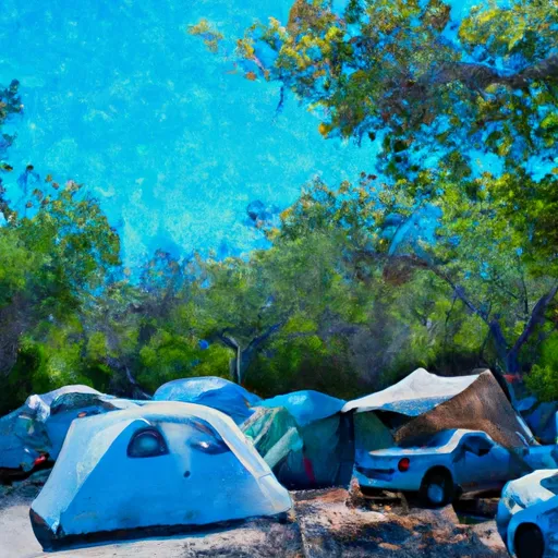
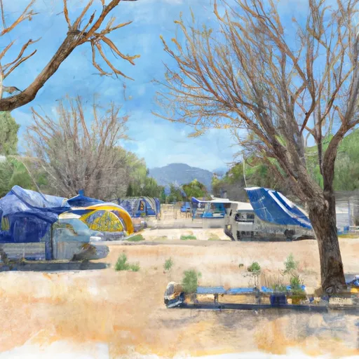
 Southwest Campground
 Southwest - Lassen Volcanic National Park
 Southwest Walk-in Campground
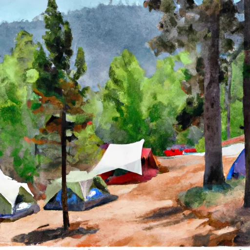
 Summit Lake South Campground
 Summit Lake North Campground
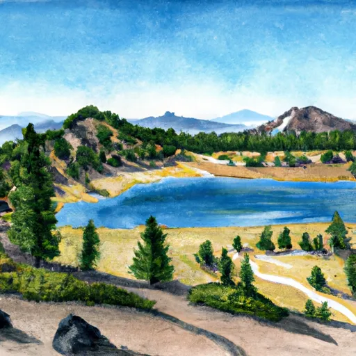
 Summit Lake (north and south) - Lassen Volcanic National Park