2026-02-23T13:00:00-08:00
Snow levels will range between 3,000 to 4,000 ft. * WHAT...Snow expected. Total snow accumulations 8 to 12 inches. * WHERE...Cascades of Snohomish and Northern King Counties and Cascades of Whatcom and Skagit Counties. * WHEN...From 8 PM this evening to 1 PM PST Monday. * IMPACTS...Travel could be very difficult to impossible. The hazardous conditions could impact the Monday morning commute.
Summary
With an elevation of approximately [elevation], it stands tall as a challenging destination for mountaineers and outdoor enthusiasts alike. The mountain offers breathtaking panoramic views of the surrounding wilderness, making it a popular spot for nature lovers.
During the winter season, Mount Bullen experiences a significant snowpack range, which contributes to its allure as a mountaineering destination. The heavy snowfall creates ideal conditions for winter sports such as skiing and snowboarding. The snowpack range varies from year to year, depending on weather patterns and snowfall accumulation.
Mount Bullen is known for its numerous creeks and rivers that receive runoff from the mountain. These water sources provide sustenance to the surrounding flora and fauna, making the area rich in biodiversity. Exploring the creeks and rivers that originate from Mount Bullen can be an exciting adventure for those seeking to experience the mountain's natural beauty up close.
The name "Mount Bullen" holds historical significance and is believed to have been named after [historical figure/landmark]. While specific legends or lore associated with Mount Bullen are scarce, the mountain's history and significance in the local culture can be further explored through local archives and historical records.
In summary, Mount Bullen in the Pacific Ranges mountain range is a majestic peak with a notable elevation, offering stunning views of the surrounding wilderness. Its winter season brings a range of snowpack that attracts winter sports enthusiasts. The mountain also contributes to the local ecosystem by providing runoff to various creeks and rivers. While the origins of its name and legends are not widely known, delving into historical records can provide more insight into its significance.
°F
°F
mph
Wind
%
Humidity
15-Day Weather Outlook
5-Day Hourly Forecast Detail
Regional Streamflow Levels
457
Cubic Feet Per Second
132
Cubic Feet Per Second
394
Cubic Feet Per Second
4
Cubic Feet Per Second
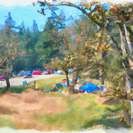
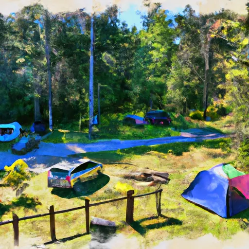
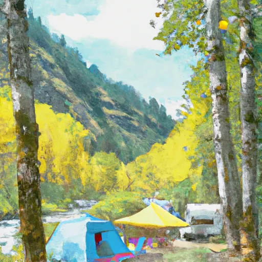
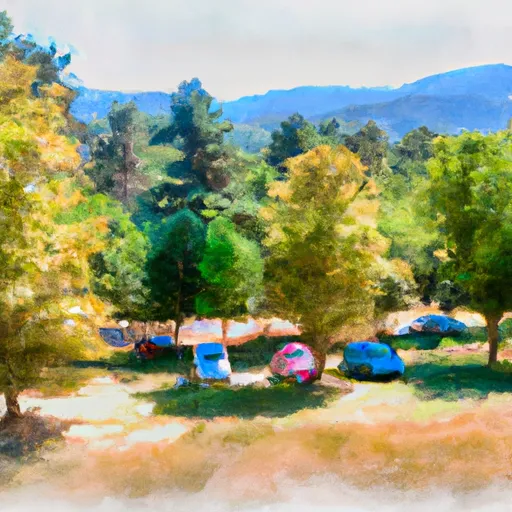
Area Campgrounds
| Location | Reservations | Toilets |
|---|---|---|
 Squire Creek County Park
|
||
 Squire Creek Park & Campground
|
||
 Verlot
|
||
 Turlo
Turlo
|
||
 Verlot Campground
|
||
 Turlo Campground
|
