2026-02-23T13:00:00-08:00
Snow levels will range between 3,000 to 4,000 ft. * WHAT...Snow expected. Total snow accumulations 8 to 12 inches. * WHERE...Cascades of Pierce and Lewis Counties and Cascades of Southern King County. * WHEN...From 8 PM this evening to 1 PM PST Monday. * IMPACTS...Travel could be very difficult to impossible. The hazardous conditions could impact the Monday morning commute.
Summary
With an elevation of [insert elevation], this peak stands as an impressive feature in the surrounding landscape. Stevens Peak is encompassed by rugged terrain and glacial features, making it a popular destination for adventure seekers and mountaineering enthusiasts.
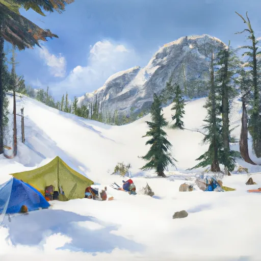
During the winter season, Stevens Peak experiences a substantial snowpack range, providing ample opportunities for winter sports such as skiing and snowboarding. The snowpack can vary depending on climatic conditions, but on average, it ranges from [insert snowpack range]. This makes it an ideal destination for winter mountaineering and backcountry exploration.
Furthermore, Stevens Peak is a significant contributor to the local water systems, with several creeks and rivers receiving runoff from its melting snow. These waterways, such as [insert creek/river names], provide vital resources for surrounding ecosystems and communities.
Regarding the history and lore surrounding Stevens Peak, the name is believed to have originated from [insert historical information]. Legends and stories associated with the peak may include [insert interesting lore or legends]. Overall, Stevens Peak offers a challenging and rewarding mountaineering experience, with its impressive size, winter snowpack, and connection to the surrounding water systems.
°F
°F
mph
Wind
%
Humidity
15-Day Weather Outlook
5-Day Hourly Forecast Detail
Regional Streamflow Levels
239
Cubic Feet Per Second
677
Cubic Feet Per Second
1,100
Cubic Feet Per Second
714
Cubic Feet Per Second
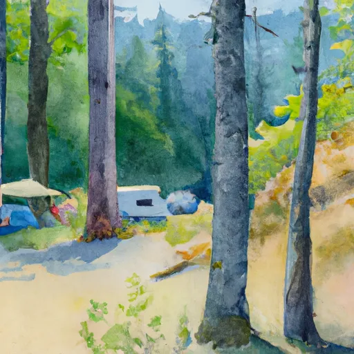
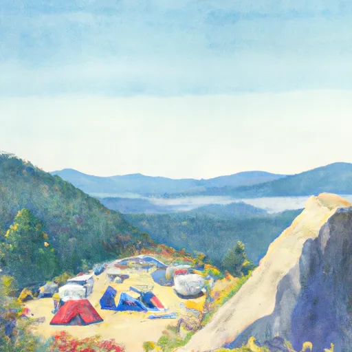
Area Campgrounds
| Location | Reservations | Toilets |
|---|---|---|
 Maple Creek Camp
|
||
 Snow Lake Camp
|
||
 Olallie Creek Camp
|
||
 Ohanapecosh - Mount Rainier National Park
|
||
 Ohanapecosh
|
||
 Cougar Rock
|
