Summary
Rising to an elevation of 3,243 meters (10,640 feet), it offers breathtaking panoramic views of the surrounding rugged terrain. This mountain is known for its challenging and diverse climbing routes, attracting experienced mountaineers seeking a thrilling adventure.
During the winter season, Anderson Peak receives a substantial snowpack that provides excellent opportunities for winter sports enthusiasts. The snowpack range typically varies based on weather conditions, but it can reach impressive depths, especially at higher elevations. This makes Anderson Peak a popular destination for backcountry skiing, snowboarding, and snowshoeing.
Several creeks and rivers receive runoff from Anderson Peak, adding to the region's natural beauty and ecological significance. These water sources contribute to the overall health of the surrounding ecosystem by providing vital hydration to plants, animals, and local communities.
The name "Anderson Peak" holds no significant historical or legendary background. It is likely named after an early explorer, settler, or surveyor in the area. As with many mountain names, it serves as a tribute to those who have contributed to the exploration and development of the region. However, there may be local tales or anecdotes associated with the mountain passed down through generations, further enriching its lore.
In conclusion, Anderson Peak is a striking summit in the Pacific Ranges mountain range, offering thrilling mountaineering opportunities with its challenging routes and stunning views. Its substantial snowpack during winter attracts winter sports enthusiasts, and its runoff contributes to the vitality of nearby creeks and rivers. The name itself lacks a compelling historical background, but it holds significance as a tribute to those who have shaped the region's history.
°F
°F
mph
Wind
%
Humidity
15-Day Weather Outlook
5-Day Hourly Forecast Detail
Regional Streamflow Levels
159
Cubic Feet Per Second
81
Cubic Feet Per Second
0
Cubic Feet Per Second
101
Cubic Feet Per Second
Area Campgrounds
| Location | Reservations | Toilets |
|---|---|---|
 Trail Fork
|
||
 Anderson Flat
|
||
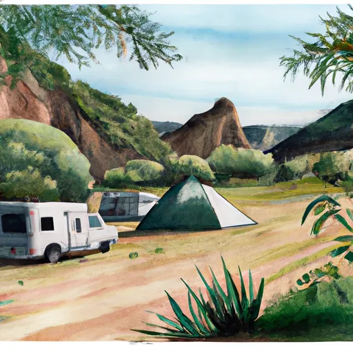 Shields Flat
|
||
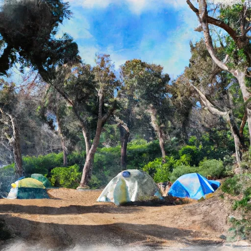 Saxton Trail Camp
|
||
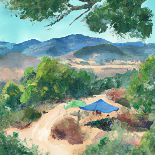 Alger Creek Camp
|
||
 Red Rock Flat
|

 Santa Ana River
 Santa Ana River - South Fork
 Big Bear Lake
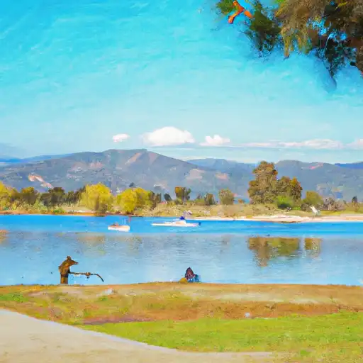 Yucaipa Park Lake
 Arrowbear Lake