Summary
Standing at an elevation of 10,680 feet, it offers breathtaking views and challenging terrain for mountaineers. With a sizeable prominence, it ranks as one of the notable peaks in the area. Its snowpack during the winter season varies, typically ranging from moderate to heavy, providing opportunities for winter mountaineering and backcountry skiing.
This majestic peak contributes to the hydrological system of the region, with several creeks and rivers benefitting from its runoff. The mountain's snowmelt feeds into nearby streams such as the West Fork San Gabriel River, providing a fresh water source for surrounding ecosystems. This natural flow helps sustain flora and fauna in the area, contributing to the overall biodiversity.
The name "Shields Peak" derives from the mountaineer and cartographer Blake Shields who explored the region in the early 20th century. Although no specific legends or lore are associated with Shields Peak, its challenging nature and scenic beauty have attracted outdoor enthusiasts and mountaineers for decades. As with any mountaineering endeavor, it is crucial to consult multiple independent sources for accurate and up-to-date information on specific routes, conditions, and safety guidelines.
°F
°F
mph
Wind
%
Humidity
15-Day Weather Outlook
5-Day Hourly Forecast Detail
Regional Streamflow Levels
101
Cubic Feet Per Second
0
Cubic Feet Per Second
81
Cubic Feet Per Second
0
Cubic Feet Per Second
Area Campgrounds
| Location | Reservations | Toilets |
|---|---|---|
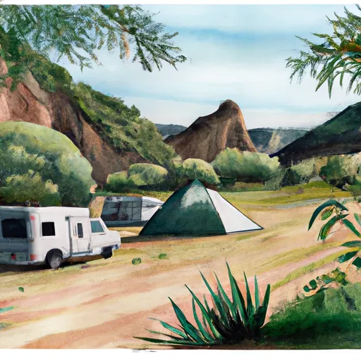 Shields Flat
|
||
 Anderson Flat
|
||
 Trail Fork
|
||
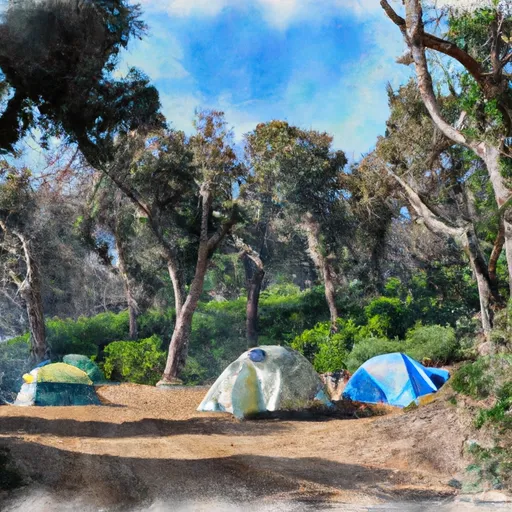 Saxton Trail Camp
|
||
 Red Rock Flat
|
||
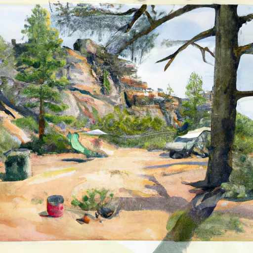 Dobbs Camp
|

 Santa Ana River
 Santa Ana River - South Fork
 Big Bear Lake
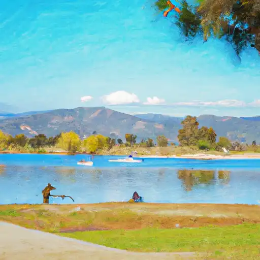 Yucaipa Park Lake