Summary
Standing at an impressive elevation, it offers breathtaking panoramic views of the surrounding landscape. The mountain is known for its size, commanding a significant presence in the area. Its rugged terrain and rocky slopes make it a challenging destination for mountaineers seeking an exhilarating adventure.
During the winter season, Petes Point experiences a diverse snowpack range. Snowfall accumulations can vary greatly depending on weather patterns, with some winters seeing heavy snowfall and others experiencing milder conditions. This variability makes it an exciting destination for winter sports enthusiasts, offering opportunities for skiing and snowboarding.
Several creeks and rivers benefit from the runoff originating from Petes Point. These include the (specific creek/river names), which are vital sources of water for the surrounding ecosystems. The mountain's runoff contributes to the overall water supply in the region, supporting diverse plant and animal life.
The history of the name Petes Point is shrouded in mystery and folklore. While there are no definitive accounts, local legends suggest that it may have been named after a legendary mountaineer or explorer who was known for his daring feats in the area. The exact origins of the name and any related stories may require further research and exploration.
In conclusion, Petes Point is an impressive peak in the Intermountain West mountain range, offering stunning views, challenging terrain, and diverse snowpack during the winter season. Its runoff contributes to the water supply of nearby creeks and rivers, supporting the local ecosystem. While the history and legends surrounding its name remain intriguing, additional research may be necessary to uncover the true story behind Petes Point.
Hourly Weather Forecast
Regional Streamflow Levels
150
Cubic Feet Per Second
447
Cubic Feet Per Second
10,100
Cubic Feet Per Second
19,200
Cubic Feet Per Second
Area Campgrounds
| Location | Reservations | Toilets |
|---|---|---|
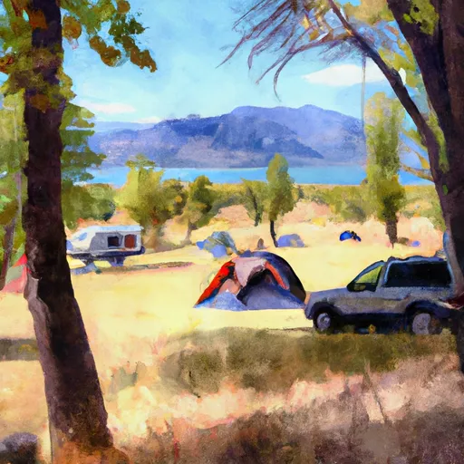 Wallowa Lake State Park
|
||
 Campsites
|
||
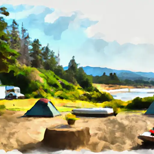 Two Pan
|
||
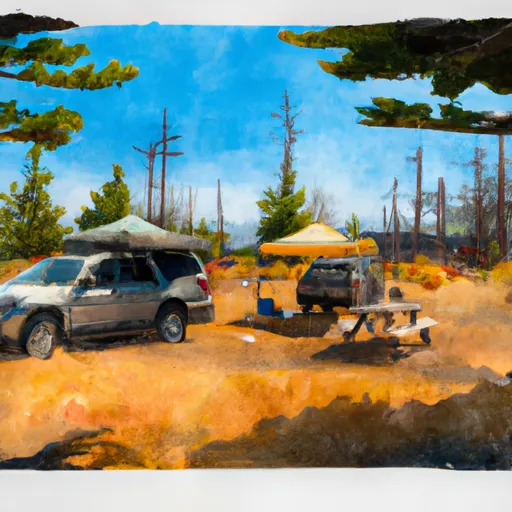 Two Pan Campground
|
||
 Shady
Shady
|
||
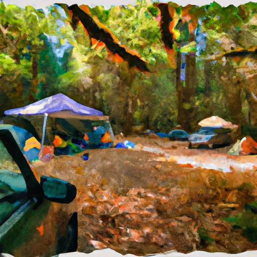 Shady Campground
|
