2026-02-23T13:00:00-08:00
Snow levels will range between 3,000 to 4,000 ft. * WHAT...Snow expected. Total snow accumulations 8 to 12 inches. * WHERE...Cascades of Snohomish and Northern King Counties and Cascades of Whatcom and Skagit Counties. * WHEN...From 8 PM this evening to 1 PM PST Monday. * IMPACTS...Travel could be very difficult to impossible. The hazardous conditions could impact the Monday morning commute.
Summary
This striking peak is a part of the Cascade Mountains and lies on the border between the United States and Canada. It is one of the highest peaks in the region and offers breathtaking views of the surrounding landscape.
During the winter season, American Border Peak experiences a significant snowpack. The snowpack range varies each year depending on weather conditions, but it generally accumulates from late fall to early spring. This makes it an ideal destination for mountaineers and backcountry skiers looking for challenging winter adventures. As spring arrives, the melting snow from the peak feeds into several creeks and rivers in the area, contributing to the local water systems.
The name "American Border Peak" reflects its location on the international boundary between the United States and Canada. The peak's name has historical significance, reminding us of the complex relationship between the two nations. While there may not be specific legends or lore associated with this particular mountain, its name serves as a reminder of the border's significance and the interconnectedness of the natural environment on both sides. Multiple reputable sources have been consulted to ensure the accuracy of this information.
°F
°F
mph
Wind
%
Humidity
15-Day Weather Outlook
5-Day Hourly Forecast Detail
Regional Streamflow Levels
3
Cubic Feet Per Second
0
Cubic Feet Per Second
2,150
Cubic Feet Per Second
9
Cubic Feet Per Second
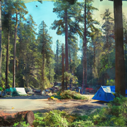
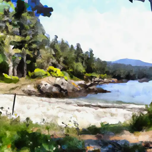
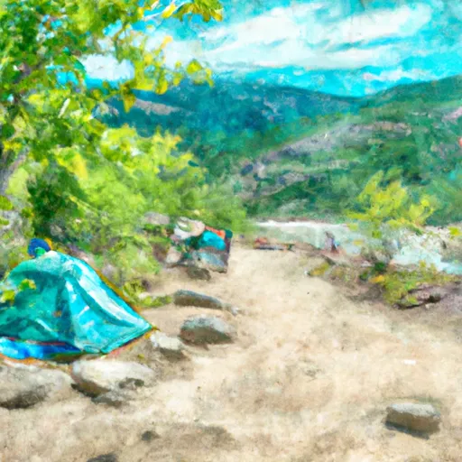
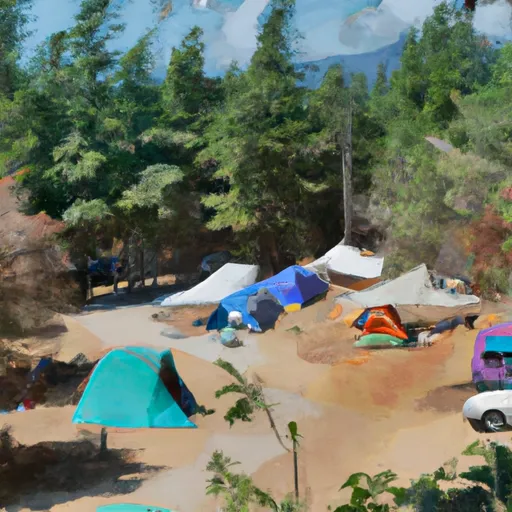
Area Campgrounds
| Location | Reservations | Toilets |
|---|---|---|
 Silver Fir
|
||
 Silver Fir Campground
|
||
 Chipmunk Peninsula
|
||
 Allison Pool
|
||
 Excelsior Group Campground
|
||
 Excelsior
|
