Summary
It offers breathtaking panoramic views of the surrounding area, making it a popular destination for mountaineers and hikers alike. The mountain is named after Big Lake, a picturesque body of water situated at its base.
During the winter season, Big Lake Butte receives a considerable amount of snowfall, resulting in a reliable snowpack. The snowpack range can vary each year but typically ranges from 5 to 8 feet, providing excellent opportunities for winter sports enthusiasts. The mountain's snow-capped peaks and pristine slopes attract skiers and snowboarders seeking thrilling adventures in the backcountry.
Several creeks and rivers benefit from the runoff that originates from Big Lake Butte. These include the Metolius River, known for its crystal-clear waters and exceptional fishing opportunities, as well as several small tributaries that eventually flow into the Santiam River. The mountain's runoff contributes to the water sources and ecosystems of these rivers, enhancing their natural beauty and biodiversity.
Regarding the history and lore surrounding Big Lake Butte, one can find limited information. The name likely derives from the nearby Big Lake, which was named due to its large size. Unfortunately, no specific legends or interesting lore associated with the mountain were found during the research process. Nonetheless, the allure of Big Lake Butte lies in its stunning scenery, recreational opportunities, and the chance to immerse oneself in the beauty of the Pacific Ranges mountain range.
°F
°F
mph
Wind
%
Humidity

 Big Lake West Campground
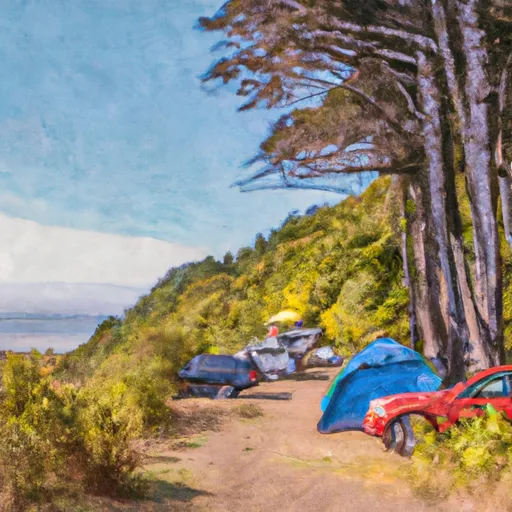 Cold Water Cove Campground
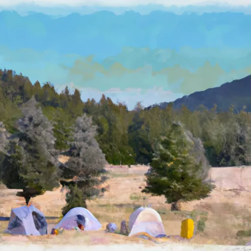 Ice Cap Campground
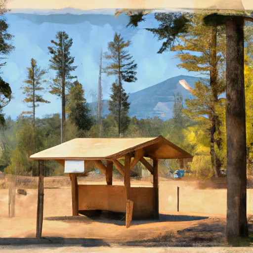 Fish Lake Remount Depot - Commissary Cabin
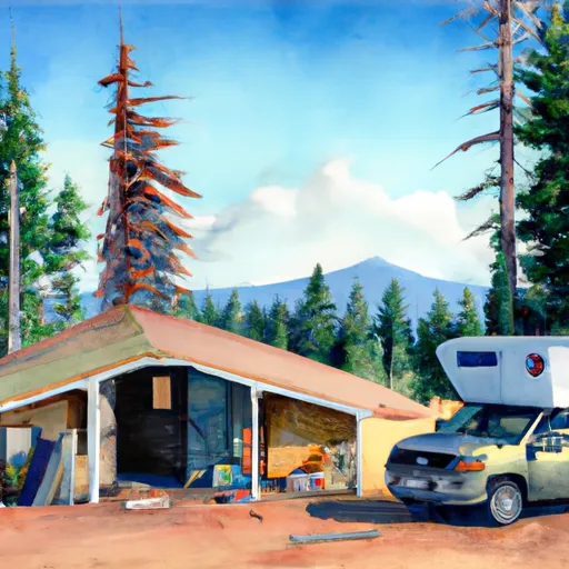 Fish Lake Remount Depot - Hall House Cabin
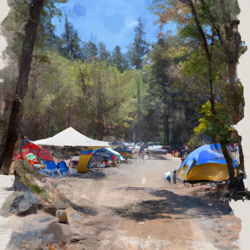 Link Creek Campground