2026-02-23T13:00:00-08:00
Snow levels will range between 3,000 to 4,000 ft. * WHAT...Snow expected. Total snow accumulations 8 to 12 inches. * WHERE...Cascades of Snohomish and Northern King Counties and Cascades of Whatcom and Skagit Counties. * WHEN...From 8 PM this evening to 1 PM PST Monday. * IMPACTS...Travel could be very difficult to impossible. The hazardous conditions could impact the Monday morning commute.
Summary
With an elevation of 6,988 feet (2,130 meters), it offers breathtaking views of the surrounding area. This mountain is a popular destination for hikers and mountaineers, providing a thrilling adventure for outdoor enthusiasts.
During the winter season, Del Campo Mountain receives a substantial amount of snowfall, transforming it into a winter wonderland. The snowpack range can vary, but on average, it accumulates several feet of snow, making it an ideal destination for winter sports such as skiing and snowboarding. The mountain's snow-covered slopes offer thrilling descents for experienced backcountry skiers and snowshoers.
Del Campo Mountain is also known for its significant creeks and rivers that originate from its slopes. These include the South Fork Sauk River, North Fork Sauk River, and Goat Creek. The mountain's runoff contributes to the flow of these water bodies, making them important sources of freshwater in the area.
Regarding its history, the name "Del Campo" translates from Spanish to "of the field" or "from the countryside." It is believed that the mountain's name originated from early Spanish explorers or settlers who were captivated by the surrounding meadows and fields. This name has endured throughout the years, becoming an integral part of the mountain's identity.
Del Campo Mountain, with its awe-inspiring elevation, abundant snowpack, and picturesque creeks, offers a captivating mountaineering experience. Its name and history add to its allure, making it a beloved destination for outdoor enthusiasts seeking a thrilling adventure in the Pacific Ranges.
°F
°F
mph
Wind
%
Humidity
15-Day Weather Outlook
5-Day Hourly Forecast Detail
Regional Streamflow Levels
238
Cubic Feet Per Second
410
Cubic Feet Per Second
575
Cubic Feet Per Second
9
Cubic Feet Per Second
Area Campgrounds
| Location | Reservations | Toilets |
|---|---|---|
 Twin Bridge Campground
|
||
 Hops Hill Campground
|
||
 Sauk River Campground
|
||
 Beaver Creek Group Campground
|
||
 Troublesome Creek Campground
|
||
 Troublesome Creek
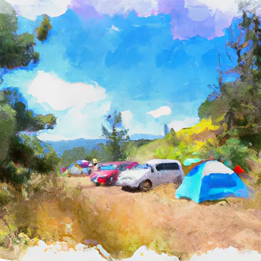
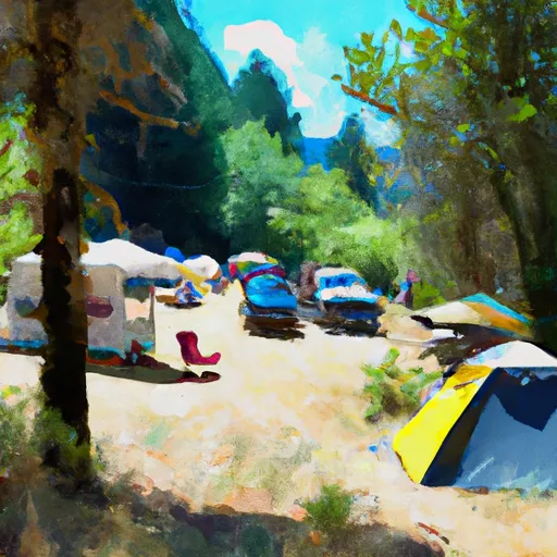
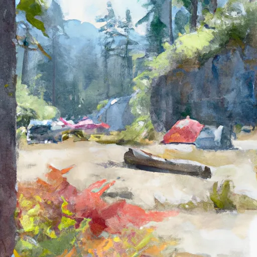
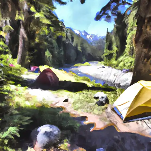
|
