2026-02-23T13:00:00-08:00
Snow levels will range between 3,000 to 4,000 ft. * WHAT...Snow expected. Total snow accumulations 8 to 12 inches. * WHERE...Cascades of Snohomish and Northern King Counties and Cascades of Whatcom and Skagit Counties. * WHEN...From 8 PM this evening to 1 PM PST Monday. * IMPACTS...Travel could be very difficult to impossible. The hazardous conditions could impact the Monday morning commute.
Summary
With an elevation of 2,200 meters (7,218 feet), it stands as an impressive landmark in the region. This peak is known for its steep and rugged terrain, providing a challenging experience for mountaineers and climbers.
During the winter season, Gothic Peak receives a substantial amount of snowfall due to its high elevation. The snowpack range can vary each year, but on average, it can accumulate several meters of snow, creating ideal conditions for winter sports enthusiasts. This makes Gothic Peak a popular destination for backcountry skiing and snowboarding.
Several creeks and rivers receive runoff from Gothic Peak, contributing to the overall ecosystem of the surrounding area. One notable creek is the Gothic Creek, which flows down the mountain's slopes, nourishing the vegetation and providing water to nearby wildlife.
The history behind the name "Gothic Peak" is not well-documented, and there are no specific legends or lore associated with this mountain. However, it is important to verify information through multiple independent sources to ensure accuracy. Gothic Peak continues to be a captivating destination for mountaineering enthusiasts, offering breathtaking views and a challenging ascent.
°F
°F
mph
Wind
%
Humidity
15-Day Weather Outlook
5-Day Hourly Forecast Detail
Regional Streamflow Levels
410
Cubic Feet Per Second
9
Cubic Feet Per Second
45
Cubic Feet Per Second
238
Cubic Feet Per Second
Area Campgrounds
| Location | Reservations | Toilets |
|---|---|---|
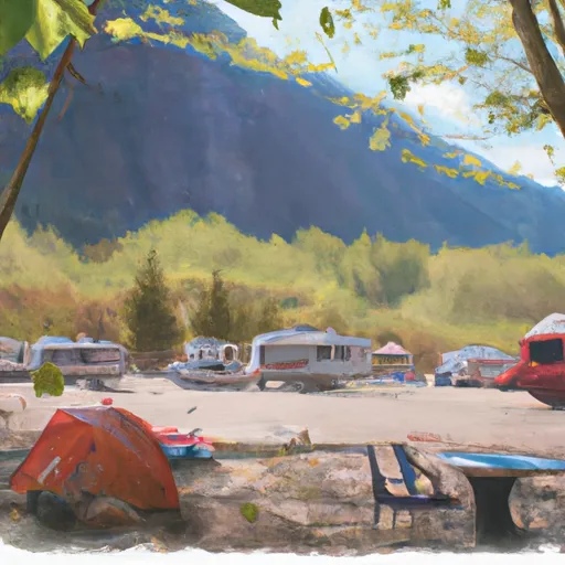 Twin Bridge Campground
|
||
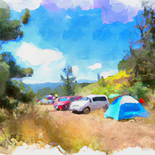 Hops Hill Campground
|
||
 Sauk River Campground
|
||
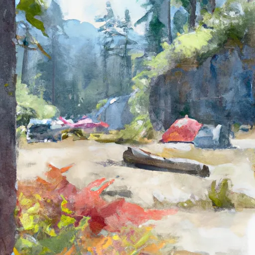 Troublesome Creek Campground
|
||
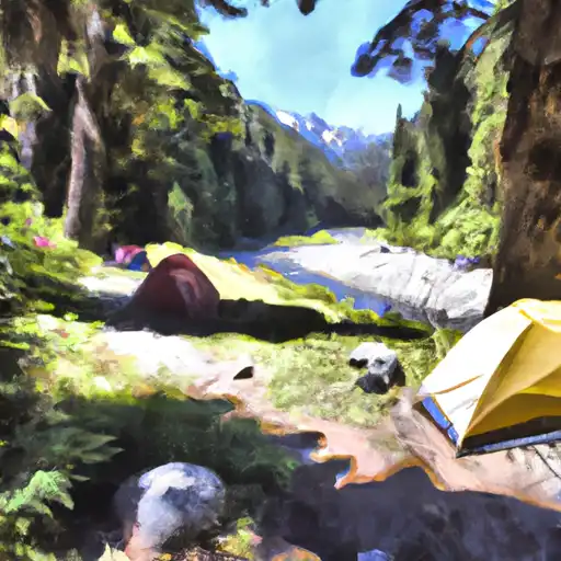 Troublesome Creek
|
||
 Beaver Creek Group Campground
|
